What is recorded here
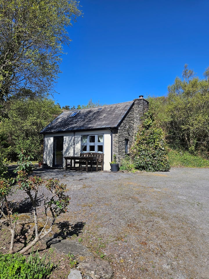
On top of a N-S ridge of rock outcrop on S side of Lough Ine. Circular area (6.75m N-S; c. 7m E-W) slightly sunken (D 1m) below ground level; defined by wall (H 0.8m; Wth 1.6m), collapsed to E. (O Cuileanáin 1955, 94).
The above description is derived from the published 'Archaeological Inventory of County Cork. Volume 1: West Cork' (Dublin: Stationery Office, 1992). In certain instances the entries have been revised and updated in the light of recent research.
Date of upload/revision: 14 January 2009
The monument record does not grant public access. Check the route and ask the landowner before entering private land.
- What survives
- Recorded monument
Places near here
 Templebreedy (in Ruins)Church · 306 yd
 Walk 5 - Lough Hyne (7km)Walking route · 654 yd
 ClochánCastle · 665 yd
 Bullock IslandIslet · 793 yd
 Church in Kedge IslandChurch · 1011 yd
 Trá na BóBeach / strand · 1125 yd
 Wild Atlantic Way:Lough HyneVisitor information · 1164 yd
 Kill Burial Gd (Childrens)Burial ground · 1201 yd
 Holy well in Pookeen (carbery West (e.d) By.)Holy well · 1545 yd
 TralispeanBeach / strand · 1640 yd
 KnockomaghMountain / peak · 1.0 mi
 Castle (in Ruins)Castle, unclassified · 1.2 mi
Other information
Photo: Credit not shown in the picture search · Rights wording not checked; contact us if this picture should be removed