What is recorded here
Situated on a gentle S-facing slope overlooking a small stream basin. An Old Red Sandstone slab (dims. 0.33m x 0.1m; original H 1.05m) is oriented WNW-ESE and leaning to the S.
The above description is derived from the published 'Archaeological Inventory of County Waterford' (Dublin: Stationery Office, 1999). In certain instances the entries have been revised and updated in the light of recent research.
Date of upload/revision: 23 December 2008
The monument record does not grant public access. Check the route and ask the landowner before entering private land.
- What survives
- Recorded monument
Places near here
 Enclosure in BallydurnEnclosure · 866 yd
 Fulacht fia in CurraghataggartFulacht fia · 1497 yd
 Church in KilcanaveeChurch · 1.5 mi
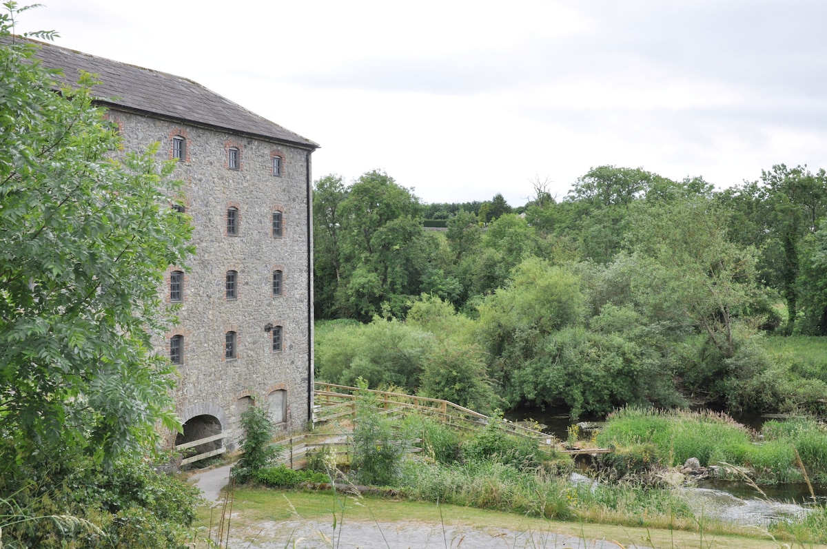 Kiln in KilmoveeKiln · 1.5 mi
 Whitestown WoodForest · 1.8 mi
 Croughaun HillMountain / peak · 2.0 mi
 CastleCastle, tower house · 2.1 mi
 The GroveWood · 2.4 mi
 Donnell's HillMountain / peak · 3.0 mi
 Curraghmore HouseCastle · 3.0 mi
 8 Arch GalleryGallery · 3.5 mi
 Portlaw Heritage CentreMuseum · 4.1 mi