What is recorded here
The precise location of a standing stone located on the W boundary of a bog known locally as Mona Gap, in the townland of Ballydaheen has not been identified. One of two standing stones described by J. F. Lynch (1913, 20) as follows: ‘The deep swamp east of Mr Leahy’s house is called Mona Gap.Two little black pillar stones [LI032-165002-/165003-] stand a little apart on its western border, and divide two baronies, two parishes, and two townlands. Immediately in a line with these, towards the south, the late Mr Joseph Carroll discovered a stone coffin [LI032-165001-], but covered it up without examination’. According to O’Kelly (1944, 19) these stones stood in the townland of Ballynagallagh and he recorded that; ‘There is no trace of these now nor does anyone in the locality remember their positions'.
Compiled by: Alison McQueen and Vera Rahilly
Date of upload: 10 November 2020
Likely dating to the Neolithic or Bronze Age, this standing stone may have served a ceremonial or territorial function. No specific folklore or detailed meaning is recorded for this site.
This remains an important historical record, but the official description says the monument is no longer visible or has been destroyed. The monument record does not grant public access. Check the route and ask the landowner before entering private land.
- What survives
- No visible remains or recorded as destroyed
Places near here
 Settlement cluster in BruffSettlement cluster · 804 yd
 Enclosure in GrillaghEnclosure · 905 yd
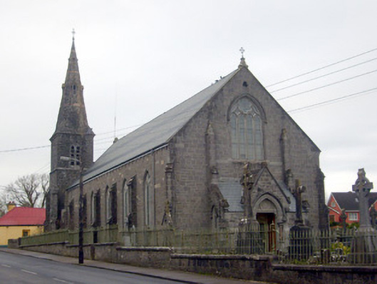 Catholic Church of Saint Peter and Saint Paulchurch/chapel · 1464 yd
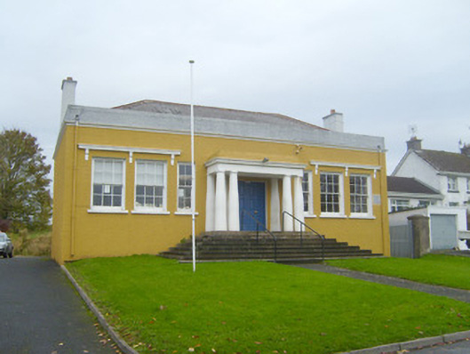 Bruff Courthousecourt house · 1511 yd
 Kilballyowen HouseCastle, unclassified · 1.1 mi
 Castle (in ruins)Castle, unclassified · 1.1 mi
 Glen BogForest · 1.2 mi
 KnockainyMountain / peak · 2.3 mi
 Flat cemetery in Knockainy WestFlat cemetery · 3.3 mi
 St Patrick's WellSpring · 6.5 mi
 Edmund's WellSpring · 7.2 mi
 Ballinvreena LoopVisitor information · 7.6 mi