What is recorded here
Standing stone rectangular in plan (0.5m x 0.7m, H 2.2m) orientated N-S with top sloping upwards from S to N and situated on high ground.
Located on high ground with good views with barrow (OF011-055) to the S. Rectangular shaped stone (H 2.2m; 0.5m x 0.79m) aligned on an E-W axis with packing stones at its base with top sloping from N to S.
The above description is derived from the published 'Archaeological Inventory of County Offaly' (Dublin: Stationery Office, 1997). In certain instances the entries have been revised and updated in the light of recent research.
Date of upload: 23 May 2011
Dated to the Neolithic or Bronze Age, this standing stone may have had ceremonial or territorial significance, possibly linked to the nearby barrow. Its orientation and location suggest it could have been part of a ritual landscape or used for astronomical observations.
The monument record does not grant public access. Check the route and ask the landowner before entering private land.
- What survives
- Recorded monument
Places near here
 Mound in BallyburlyMound · 179 yd
 BarrowBarrow, ring-barrow · 397 yd
 Ch., Grave yd.Church · 559 yd
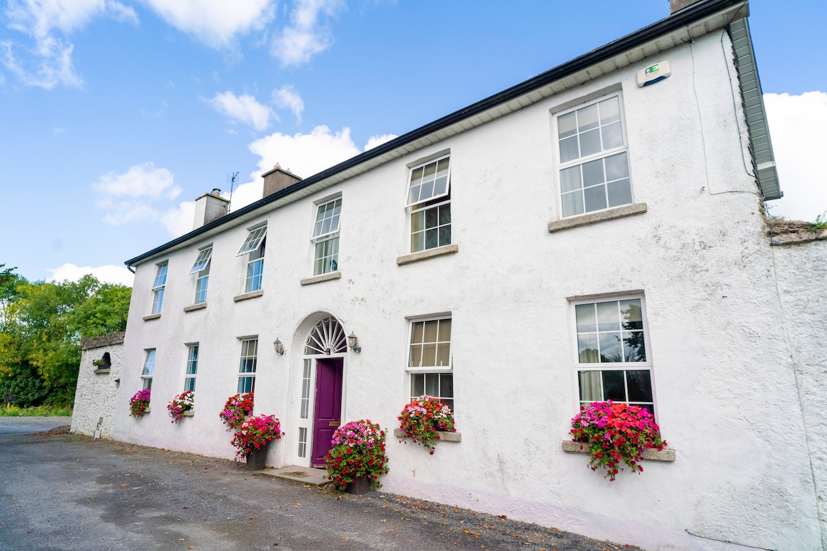 Ballyburly Ho.Castle, unclassified · 562 yd
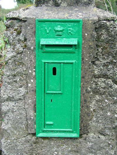 post boxpost box · 713 yd
 Ballybrittan CastleCastle, tower house · 1.3 mi
 Clonin EarthworksMountain / peak · 1.6 mi
 Holy PlantationForest · 2.0 mi
 Victoria PlantationWood · 2.1 mi
 Moat HillMountain / peak · 2.2 mi
 Croghan HillMountain / peak · 4.4 mi
 Croghan Hill WalkVisitor information · 4.5 mi