What is recorded here
Standing stone in Ballybeg East is a large upright roughly surfaced stone in low-lying boggy pasture south of the Awbeg River, measured at two metres east-west, sixty centimetres thick and one metre high. It may have marked a boundary, a burial, a meeting place or a warning about hidden ground, though no human name or date has survived to confirm which. The bog has kept its edges soft and its purpose uncertain, which fits a stone that still stands only because nobody has thought to remove it.
In low-lying boggy pasture, to S of Awbeg River. Noted during archaeological survey in advance of proposed Buttevant bypass. Described by O'Rahilly (1994, 5) as 'a large upright roughly surfaced stone, measuring 2m east-west by 0.6m thick by 1m high', and classified as 'possible standing stone'.
The above description is derived from the published 'Archaeological Inventory of County Cork. Volume 4: North Cork' (Dublin: Stationery Office, 2000). In certain instances the entries have been revised and updated in the light of recent research.
Date of upload/revision: 14 January 2009
Likely dating to the Bronze Age, this standing stone may have had ritual or territorial significance. No specific folklore or detailed use has been recorded for this site.
The monument record does not grant public access. Check the route and ask the landowner before entering private land.
- What survives
- Recorded monument
Places near here
 Earthwork in Ballybeg EastEarthwork · 86 yd
 MillMill, unclassified · 93 yd
 Ballybeg Abbey (in Ruins)Religious house, Augustinian canons · 162 yd
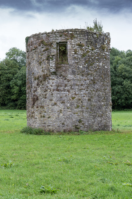 TowerDovecote · 168 yd
 Charles BunworthMemorial · 763 yd
 Lombards CastleCastle, tower house · 1116 yd
 SycamoreSycamore · 1613 yd
 David HurleyMemorial · 1614 yd
 CastleCastle, unclassified · 1.8 mi
 Smith's WellSpring · 3.3 mi
 Lady's WellSpring · 3.5 mi
 Doneraile HouseHeritage attraction · 3.6 mi