
What is recorded here
In low-lying boggy land, immediately S of Awbeg River and N of Ballybeg priory (14379). Mill shown on Down Survey (1655-6) barony map in this area. Three grass-covered earthen mounds, with some stone rubble, on S bank of river, may be associated with mill. Central mound (c. 9.5m N-S; c. 9m E-W; H c. 1.75m) has flat top. Second mound (c. 25m E-W; 10m N-S), c. 8m to E, slightly irregular in plan with centre rising to H 1.75m. Third mound (c. 4m N-S; 5m E-W; H 1.25m) to W of central mound; low earthen bank extends c. 7m to SE from S end of mound. Other earthworks (13824) in field may be associated with mill, including rectangular enclosure in S half of field; second mill (15243) shown on Down Survey (1655-6) barony map on N bank of river.
The above description is derived from the published 'Archaeological Inventory of County Cork. Volume 4: North Cork' (Dublin: Stationery Office, 2000). In certain instances the entries have been revised and updated in the light of recent research.
Date of upload/revision: 14 January 2009
The monument record does not grant public access. Check the route and ask the landowner before entering private land.
- What survives
- Recorded monument
Places near here
 Earthwork in Ballybeg EastEarthwork · 73 yd
 Ballybeg Abbey (in Ruins)Religious house, Augustinian canons · 222 yd
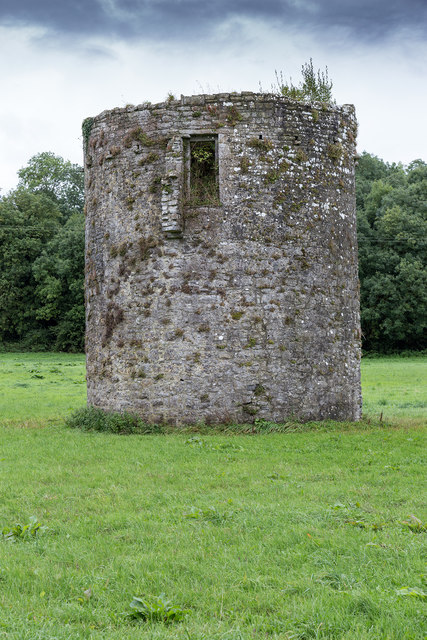 TowerDovecote · 245 yd
 IndicatedKiln, lime · 414 yd
 Charles BunworthMemorial · 679 yd
 Lombards CastleCastle, tower house · 1035 yd
 SycamoreSycamore · 1534 yd
 David HurleyMemorial · 1535 yd
 CastleCastle, unclassified · 1.8 mi
 Smith's WellSpring · 3.4 mi
 Lady's WellSpring · 3.5 mi
 Doneraile HouseHeritage attraction · 3.7 mi
Other information
Photo: Credit not shown in the picture search · Rights wording not checked; contact us if this picture should be removed