
What is recorded here
On W side of disused road, built against limestone rock outcrop. Random-rubble limestone walls encase core. Front elevation (H 5.1m; Wth 6.5m) faces E; brick-arched recess (H 2.4m; Wth 2.16m; D 1.27m), second lower inner arch with stoking hole, sloping slabs at rear. Funnel infilled.
The above description is derived from the published 'Archaeological Inventory of County Cork. Volume 4: North Cork' (Dublin: Stationery Office, 2000). In certain instances the entries have been revised and updated in the light of recent research.
Date of upload/revision: 14 January 2009
The monument record does not grant public access. Check the route and ask the landowner before entering private land.
- What survives
- Recorded monument
Places near here
 Clapper Bridgefoot bridge · 225 yd
 Fish-pond in Ballybeg EastFish-pond · 278 yd
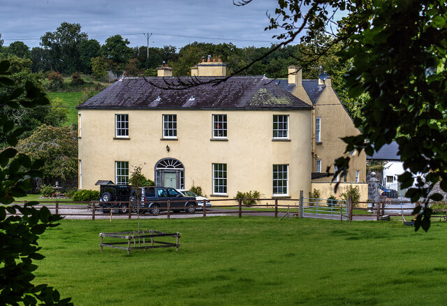 Springfieldcountry house · 348 yd
 Earthwork in Ballybeg EastEarthwork · 483 yd
 Charles BunworthMemorial · 563 yd
 Lombards CastleCastle, tower house · 849 yd
 SycamoreSycamore · 1304 yd
 David HurleyMemorial · 1306 yd
 CastleCastle, unclassified · 1.6 mi
 Smith's WellSpring · 3.2 mi
 Doneraile HouseHeritage attraction · 3.5 mi
 European YewEuropean Yew · 3.7 mi
Other information
Photo: Credit not shown in the picture search · Rights wording not checked; contact us if this picture should be removed