What is recorded here
Broken now, but still standing in Ballingoola, the third stone marked an ancient road that crossed fields and barony boundaries. It is no taller than a kitchen table, yet it belongs to a line of seven stones stretching toward Lough Gur Cross. A plough once cut across the track beside it, revealing a broad band of limestone chippings beneath dark soil. The road has faded, but the stone still points along it.
Listed by O'Kelly (1942-3, 180) as Ballingoola No. 3. Described in 1943 as 'an irregularly shaped block of well weathered limestone. It measures 2' 3" [0.68m] high, 2' 4" [0.71m] wide, and 1' 6" [0.45m] thick' (O'Kelly 1942-3, 180).
According to O'Kelly this standing stone was one of seven in the townland which marked the route of an ancient road which ran 'from Lough Gur Cross (LI032-061----) to the northern barony boundary. Beyond this (in the barony of Clanwilliam) the line is marked by further three stones. These stones seem to mark the line of an ancient road or track. The track itself is visible only for a short distance in the townland of Ballingoola connecting stones No. 2 and 3 above and continuing for some little distance on each side of them. Just north of stone No. 2 the track runs across a field which was ploughed in 1941. The surface of the track was disturbed and showed as a broad band of limestone chippings cutting across the dark coloured soil' (O'Kelly 1942-3, 180).
Standing stone now broken into three sections the base of which is still set into the ground with two broken sections lying beside the stone.
Compiled by: Caimin O'Brien
Date of upload: 26 September 2018
Likely dating to the Neolithic or Bronze Age, this standing stone may have functioned as a boundary marker, ritual monument, or part of a megalithic tradition in the region. No specific folklore or detailed use is recorded for this site.
The monument record does not grant public access. Check the route and ask the landowner before entering private land.
- What survives
- Recorded monument
Places near here
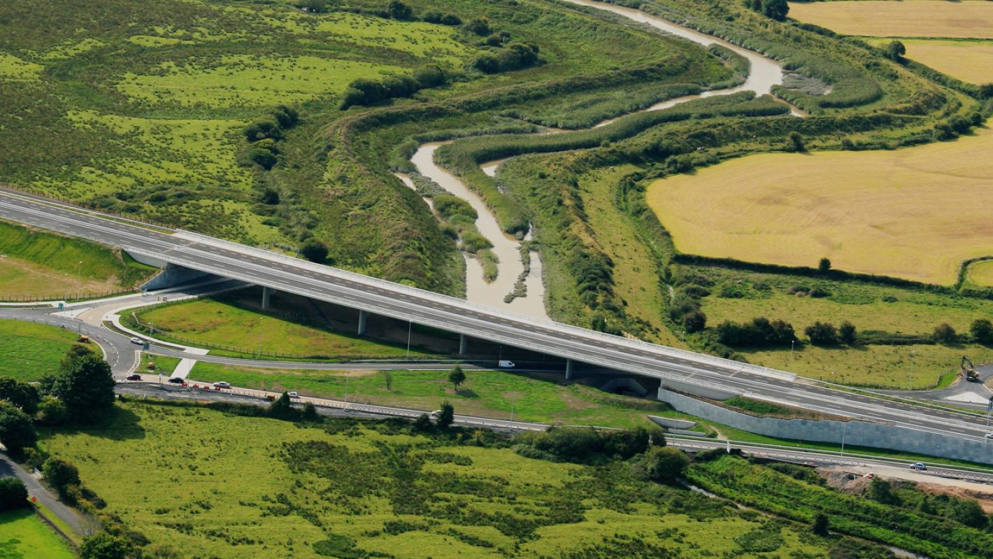 RoadRoad, road/trackway · 66 yd
 Enclosure in BallingoolaEnclosure · 98 yd
 Longford Bridgebridge · 603 yd
 IndicatedDesigned landscape feature · 678 yd
 OultinedBawn · 1062 yd
 The SpectaclesVisitor information · 1677 yd
 Lough Gur Heritage CentreVisitor information · 1.0 mi
 Pedunculate OakPedunculate Oak · 1.2 mi
 Garret IslandCastle, unclassified · 1.4 mi
 Banoge's WellSpring · 1.4 mi
 Grange Stone CircleArchaeological place · 1.7 mi
 Lough GurVisitor information · 1.7 mi