What is recorded here
Stand in the unknown valley where the mountain holds its edge. The stone is not a monument to pride, but a marker of limit: this far, no further; this much land, this much shadow. O'Flanagan received it as a boundary stone in Ballinascorney Lower, yet the exact spot has slipped from the claim. That is the strange part. The mountain kept the marker, but it will not say where.
A standing stoned note in the OS Letters (1837) as a 'boundary stone' in the mountains near Ballinascorney (O'Flanagan 1927, 11). Not precisely located.
Compiled by: Geraldine Stout and Padraig Clancy
Revised upload on: 7 July 2018
Likely dating to the Bronze Age, this standing stone may have functioned as a territorial marker or ritual monument. Its designation as a 'boundary stone' suggests it had a symbolic or legal role in defining land divisions in prehistoric times.
The monument record does not grant public access. Check the route and ask the landowner before entering private land.
- What survives
- Recorded monument
Places near here
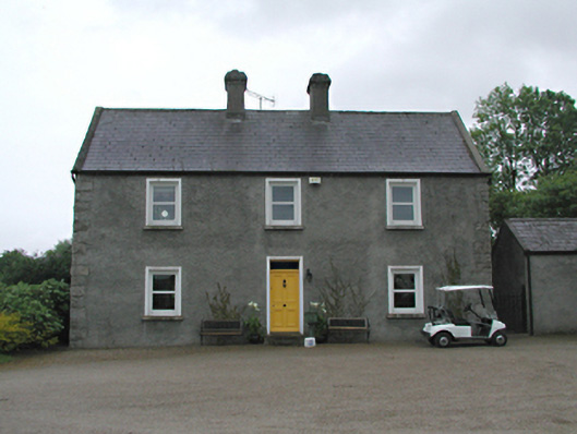 Hawthornfarm house · 273 yd
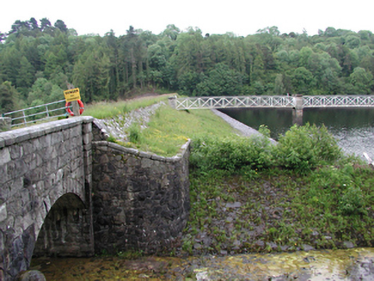 Glenasmole Reservoirdam/reservoir/basin · 635 yd
 KnockanteedanMound · 798 yd
 SlievenabawnogeMountain / peak · 1105 yd
 Ballinascorney WoodForest · 1136 yd
 Enclosure in BallymanaEnclosure · 1172 yd
 Graveyard in BallymanaGraveyard · 1.1 mi
 Slieve GorraMountain / peak · 1.3 mi
 Carty's CastleRuins · 1.5 mi
 Saint Ann's WellSpring · 1.6 mi
 Saint Ann's GraveyardRuins · 1.6 mi
 Hellfire WoodForest · 1.7 mi