What is recorded here
Situated on a slight break in a NE-facing slope in undulating upland terrain, under pasture. There are lots of old river channels in the field. A conglomerate of sandstone and quartz (H 1m), aligned NW-SE, roughly rectangular in section (max. dims. 1.03m x 0.5m). The NE face of the stone has split, the upper portion (H 0.52m; dims. 0.87m x 0.15m) has broken off and now rests against the NE face.
Compiled by: Caimin O'Brien.
Date of upload: 22 September 2008
The monument record does not grant public access. Check the route and ask the landowner before entering private land.
- What survives
- Recorded monument
Places near here
 Water millWater mill, unclassified · 1343 yd
 CastleCastle, motte and bailey · 1.0 mi
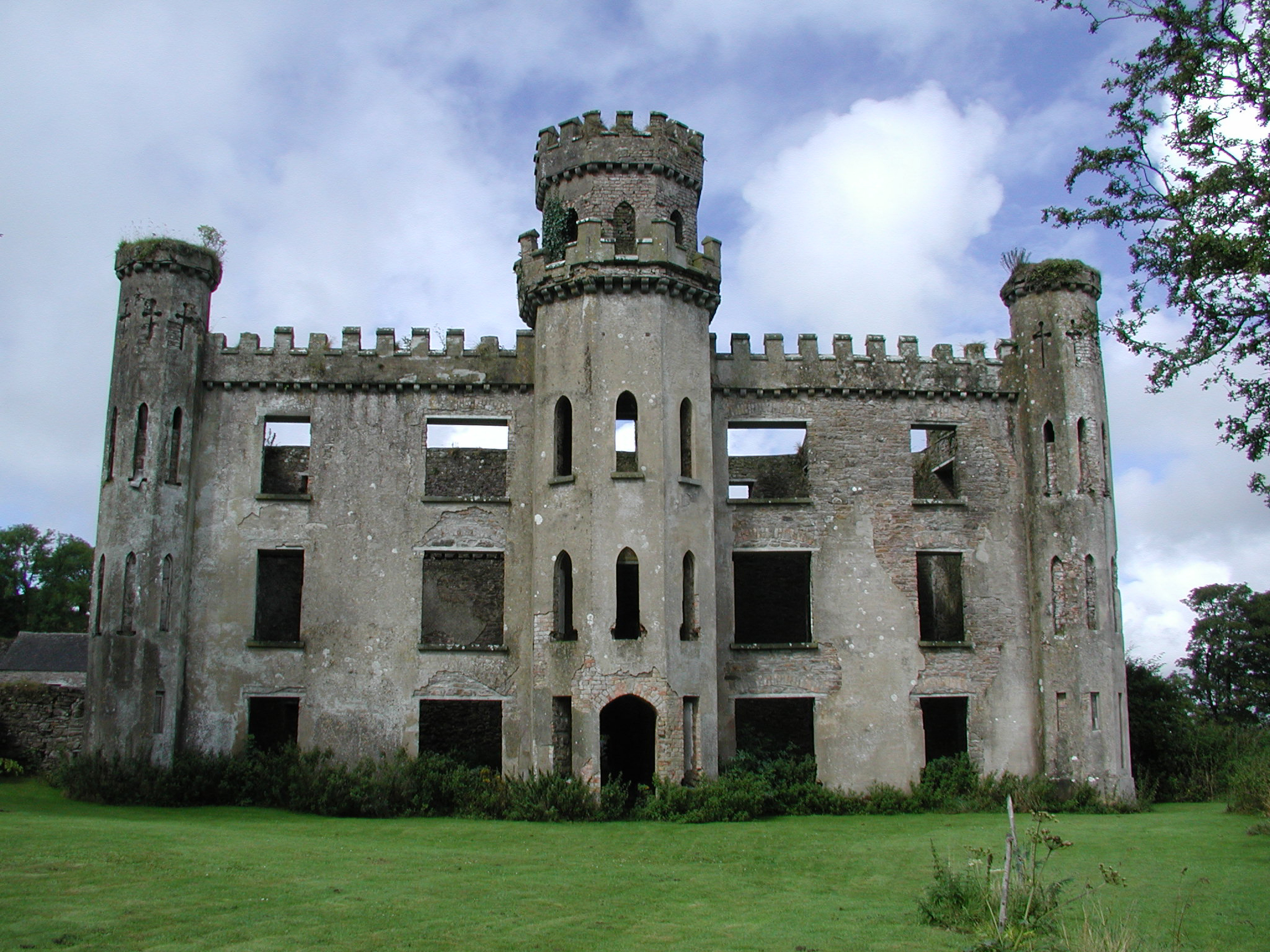 Gortkelly Castlecountry house · 1.0 mi
 KnockaneMountain / peak · 1.2 mi
 ToberpatrickHoly well · 1.3 mi
 Moher HillMountain / peak · 1.4 mi
 Sweathouse in Knockacarhanduff CommonsSweathouse · 1.7 mi
 Site of Cashlauncreen CastleCastle, tower house · 1.9 mi
 Drum WoodWood · 4.0 mi
 Cormackstown Heritage CentreMuseum · 5.1 mi
 Kilvilcorris BogForest · 6.0 mi
 Templemichael Church (in Ruins), Grave Yd.Church · 1.2 mi