
What is recorded here
Situated on a SW-facing slope, built into rock outcrop which forms a terrace near the top of a hill, in rough pasture. This is a small chamber (int. dims 1.38m x 2.23m; max. H 1.43m) constructed of drystone sandstone walling with a corbelled roof, though the back wall utilises the rock outcrop. There is a lintelled entrance at SE (Wth 0.58m; H 1.38m), the sidestones of which are largely broken out and a possible shelf (Wth 0.22m x H 0.18m x D 0.13m) in the SW wall 0.65m above the floor level. Some cracks on the NE internal wall may be heat fractures. There is a lot of collapsed stone in the interior. According to local information a large stone was used to block the entrance but this has since been removed.
The above description is derived from 'The Archaeological Inventory of County Tipperary. Vol. 1 - North Tipperary' compiled by Jean Farrelly and Caimin O'Brien (Dublin: Stationery Office, 2002). In certain instances the entries have been revised and updated in the light of recent research.
Date of upload/revision: 22 September 2008
A local holy well or ritual site; wider significance not recorded.
The monument record does not grant public access. Check the route and ask the landowner before entering private land.
- What survives
- Recorded monument
Places near here
 ToberaliceHoly well · 655 yd
 Site of Church, Childrens Burial GroundChurch · 1.2 mi
 Site of Cashlauncreen CastleCastle, tower house · 1.7 mi
 Drumbane CastleCastle · 1.8 mi
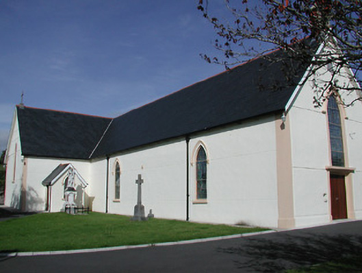 Saint Mary's Catholic Churchchurch/chapel · 1.9 mi
 Water millWater mill, unclassified · 2.3 mi
 Ring HillMountain / peak · 2.5 mi
 Moher HillMountain / peak · 2.6 mi
 Drum WoodWood · 2.8 mi
 Gortard WoodForest · 6.6 mi
 Silvermines ViewpointViewpoint · 12 mi
 Our Lady Assumed into HeavenMemorial · 13 mi
Other information
Photo: Credit not shown in the picture search · Rights wording not checked; contact us if this picture should be removed