What is recorded here
In rough hill pasture, on a W-facing slope overlooking Fastnet Rock and Mizen Head. This standing stone (1.22m x 0.4m; H 0.9m) is roughly rectangular in plan and section and is orientated NE-SW. Packing-stones are visible, especially on the NW side.
The above description is derived from 'The Archaeological Inventory of County Cork. Volume 5' (Dublin: Stationery Office, 2009).
Date of upload: 22 December 2009
Probably dating to the Neolithic or Bronze Age, this standing stone may have had ritual or territorial significance, possibly aligned with landscape features or celestial events. Its orientation and location suggest a connection to local prehistoric beliefs or navigation markers.
The monument record does not grant public access. Check the route and ask the landowner before entering private land.
- What survives
- Recorded monument
Places near here
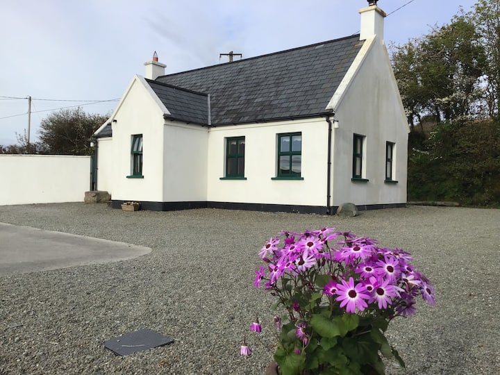 Enclosure in Skeagh (carbery West (w.d) By.)Enclosure · 870 yd
 Hut site in Skeagh (carbery West (w.d) By.)Hut site · 885 yd
 Mount Gabriel View Point toward NorthViewpoint · 1458 yd
 Mount Gabriel View Point toward SouthViewpoint · 1615 yd
 Mount GabrielMountain / peak · 1616 yd
 Cadogan's StrandHeritage attraction · 1.2 mi
 MineMine, copper · 1.2 mi
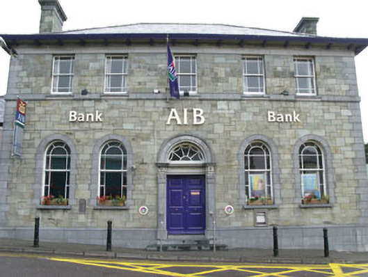 Allied Irish Bankbank/financial institution · 1.2 mi
 Schull HarbourBay · 1.8 mi
 Bawn in ArdintenantBawn · 2.1 mi
 Coosheen PointHeadland · 2.4 mi
 KnockaughnaMountain / peak · 2.7 mi