What is recorded here
An Droim Thoir holds a three-metre sandstone pillar on a quiet shoulder, joined to a similar stone two hundred metres downslope. The pair suggests human intention rather than chance, perhaps marking a boundary, a meeting place or a memory now lost.
Situated on a relatively level shoulder c. 220m upslope of the previous, very similar example. This large, sandstone boulder is roughly trapezoidal in plan at base and rectangular in elevation though narrowing slightly towards the top. It stands 3m high and is a maximum of 1.4m wide and an average of .69m thick at base; ENE-WSW.
The above description is derived from J. Cuppage, ‘Corca Dhuibhne. Dingle Peninsula archaeological survey. Ballyferriter. Oidhreacht Chorca Dhuibhne’ (1986), no. 100. In certain instances the entries have been revised and updated in the light of recent research.
Date of upload: 3 August 2013
Likely dating to the Neolithic or Bronze Age, this standing stone may have served a ceremonial or territorial function. No specific folklore or detailed meaning is recorded for the site.
The monument record does not grant public access. Check the route and ask the landowner before entering private land.
- What survives
- Recorded monument
Places near here
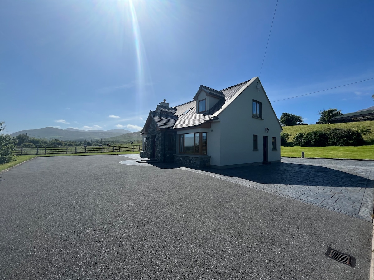 Hut site in An Droim ThoirHut site · 177 yd
 Drom BeachBeach / strand · 310 yd
 Enclosure in Cnoc Na NgabharEnclosure · 1000 yd
 An t'Oileán DubhIslet · 1544 yd
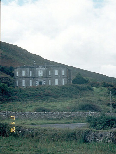 Fermoyle Househouse · 1756 yd
 Site of CastleCastle, unclassified · 1.0 mi
 An CheapaighBeach / strand · 1.0 mi
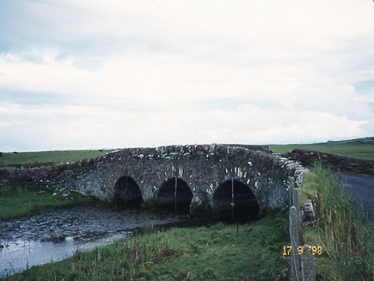 bridgebridge · 1.1 mi
 Hillville WoodWood · 1.5 mi
 Pointe na CathrachHeadland · 1.8 mi
 Binn an TuairMountain / peak · 2.3 mi
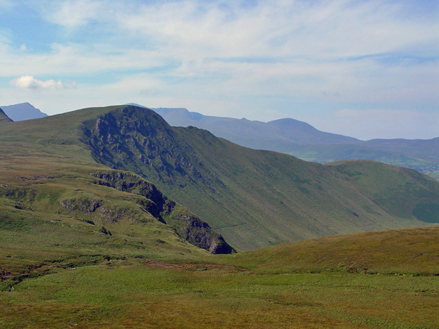 Gob an IolairMountain / peak · 2.6 mi