
What is recorded here
The circular enclosure shown here on the OS maps has been severely modified. It is situated on level, poorly drained pastureland less than 100m W of the Scorid river and about a half-mile S of Brandon Bay. The monument survives as an irregular oval mound of earth and stones measuring 17.3m NW-SE and 12m NE-SW across its upper surface. The perimeter rises slightly above the interior and in the W sector a short stretch of stony bank is preserved; this is up to .6m high. From a surface inspection alone it is not possible to determine whether the site was enclosed by a clay bank, a stone wall or a stone-faced clay bank.
A depression, 4m in diameter, which abuts the bank at W may mark the position of a hut-site, but other irregularities on the surface of the mound do not form any recognisable pattern.
A series of small depressions in the SE quadrant mark the location of a Man-made underground passage. A roof slab is visible at the side of one of these, and a small opening beneath this provides a view of the drystone-built passage which extends at least 2m to S.
The above description is derived from J. Cuppage, ‘Corca Dhuibhne. Dingle Peninsula archaeological survey. Ballyferriter. Oidhreacht Chorca Dhuibhne’ (1986), no. 715. In certain instances the entries have been revised and updated in the light of recent research.
Date of upload: 7 August 2013
A local fairy fort (ringfort/rath); wider significance not recorded.
The monument record does not grant public access. Check the route and ask the landowner before entering private land.
- What survives
- Recorded monument
Places near here
 St. Nicholass WellHoly well · 687 yd
 Site of ChurchChurch · 787 yd
 Church in Cill An UrdráinChurch · 1216 yd
 Drom BeachBeach / strand · 1283 yd
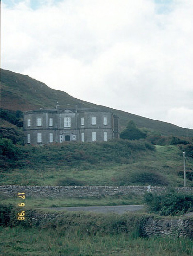 Fermoyle Househouse · 1.1 mi
 Site of CastleCastle, unclassified · 1.1 mi
 Hillville WoodWood · 1.3 mi
 An t'Oileán DubhIslet · 1.4 mi
 An CheapaighBeach / strand · 1.6 mi
 Binn an TuairMountain / peak · 1.8 mi
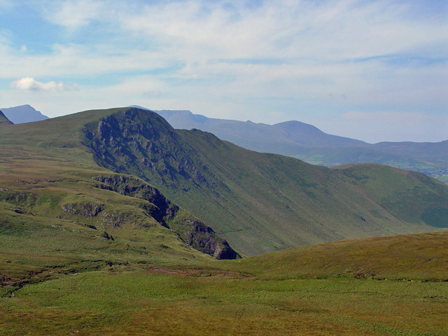 Gob an IolairMountain / peak · 2.0 mi
 Pointe na CathrachHeadland · 2.3 mi
Other information
Photo: Credit not shown in the picture search · Rights wording not checked; contact us if this picture should be removed