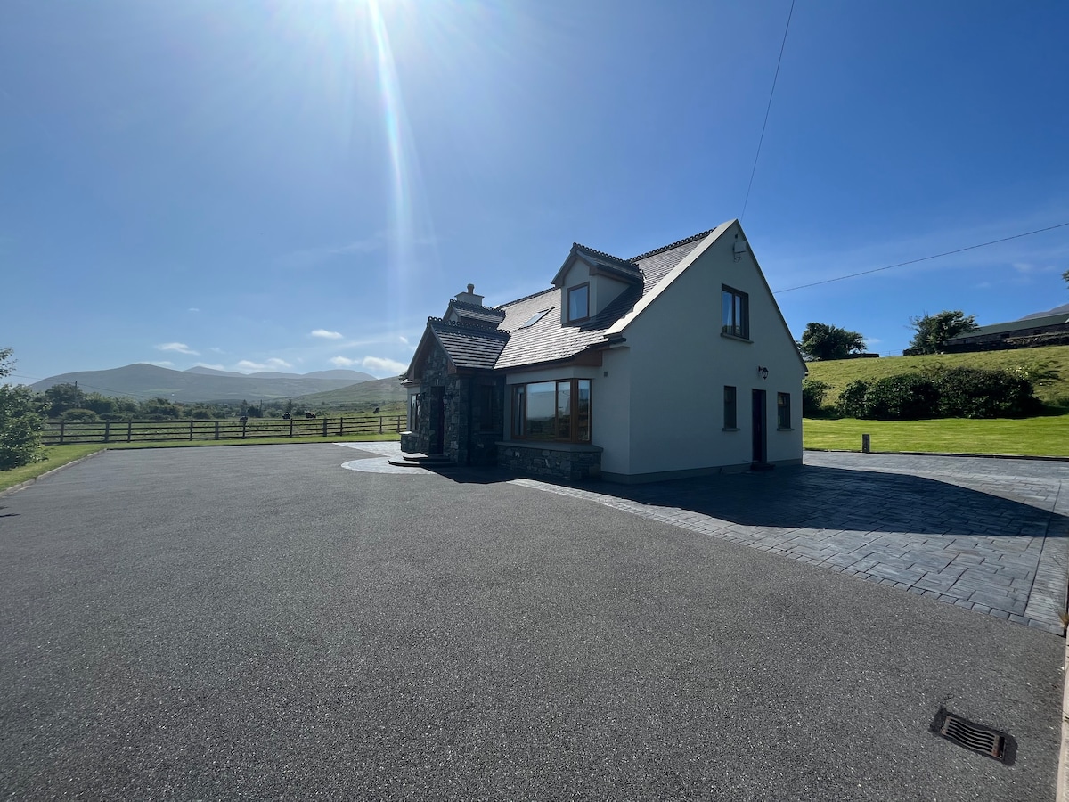
What is recorded here
An Droim Thoir holds one of two earthen raths on Drom Hill, overlooking the Glennahoo and Scorid estuary. Inside the western bank sits a circular stone hut, barely four metres wide and no taller than a standing man’s chest. Its corbelled wall leans inward as if listening to the river below, while a mysterious stone terrace stretches across the fort like a forgotten shelf. The place remains half-hidden in loose rock and hill grass, waiting for someone to remember what it held.
KE035-040---- is one of a pair of earthen-banked raths situated within 200m of each other on the SE facing slopes of Drom Hill (334 feet/102m), overlooking the estuary of the Glennahoo and Scorid rivers.
A circular stone hut (KE035-040001-), 4.6m in internal diameter, is built against the inner stone face of the bank at WSW. Only the NW half of its wall is traceable. It stands to a maximum height of 1.4m and is slightly corbelled. The remainder of the interior of the fort is strewn with loose stone but no structures are discernible. In the SW quadrant a length of drystone masonry, extending 4m from the bank towards the centre, retains a terrace on its N side; the function of this feature is unclear.
The above description is derived from J. Cuppage, ‘Corca Dhuibhne. Dingle Peninsula archaeological survey. Ballyferriter. Oidhreacht Chorca Dhuibhne’ (1986), no. 399. In certain instances the entries have been revised and updated in the light of recent research.
Date of upload: 6 August 2013
The monument record does not grant public access. Check the route and ask the landowner before entering private land.
- What survives
- Recorded monument
Places near here
 Drom BeachBeach / strand · 431 yd
 Enclosure in Cnoc Na NgabharEnclosure · 853 yd
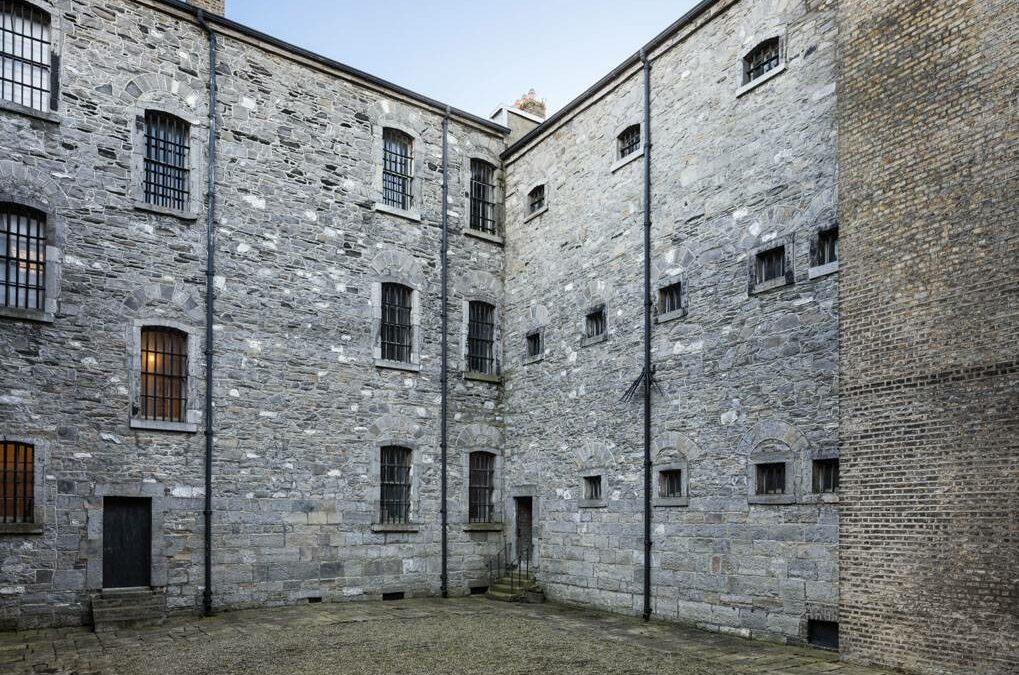 Enclosure in An Droim ThiarEnclosure · 1376 yd
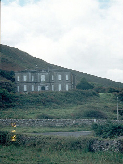 Fermoyle Househouse · 1657 yd
 An t'Oileán DubhIslet · 1677 yd
 Site of CastleCastle, unclassified · 1694 yd
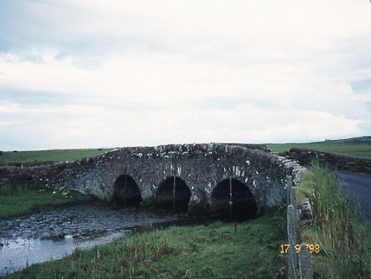 bridgebridge · 1.1 mi
 An CheapaighBeach / strand · 1.1 mi
 Hillville WoodWood · 1.4 mi
 Pointe na CathrachHeadland · 1.9 mi
 Binn an TuairMountain / peak · 2.2 mi
 Gob an IolairMountain / peak · 2.5 mi
Other information
Photo: Credit not shown in the picture search · Rights wording not checked; contact us if this picture should be removed