
What is recorded here
St Peters Hill was a massive circular earthwork on a Kildare pasture spur, large enough to command the surrounding land before road contractors destroyed it for gravel. The peasantry called it Dun mBrochaill, suggesting it belonged to an older story than the local name implies. Men with wheels and hunger for stone did not ask permission from memory; they took the hill apart and scattered its substance across new roads. What remains is absence, a smooth gap where shape once stood, proving that even large things can vanish when utility calls.
On a pasture spur which projects W and overlooks lower pasture SW-NE. Shown on the 1st.ed (1838) of the OS 6-inch map as a very substantial, apparently steep-sided, circular earthwork (est. max. ext. diam. c. 130m; est. upper surface diam. c. 50m). The site was recorded by Fitzgerald (1912-4, 125) as 'now … being demolished by road-contractors for the sake of its gravel (and) named by the peasantry "Dun mBrochaill"'. No visible surface traces survive.
Compiled by: Gearóid Conroy
Date of upload: 10 June 2011
The monument record does not grant public access. Check the route and ask the landowner before entering private land.
- What survives
- Recorded monument
Places near here
 St. Peters WellHoly well · 93 yd
 Church in DunmurraghillChurch · 602 yd
 Not inidcatedEnclosure · 861 yd
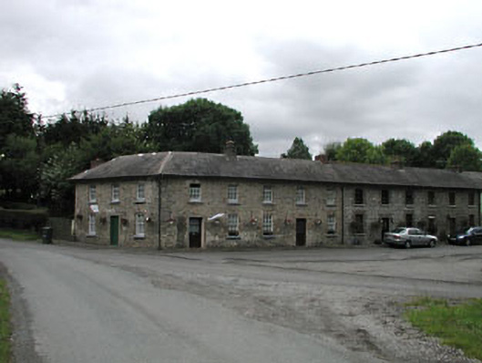 worker's houseworker's house · 887 yd
 9/11 MemorialMemorial · 1331 yd
 Donadea CastleCastle, tower house · 1658 yd
 Donadea Forest ParkVisitor information · 1.0 mi
 The Grill ShackHeritage attraction · 1.3 mi
 Loughtown CovertWood · 2.6 mi
 Ballynafagh Bog Special Area of ConservationNature reserve · 3.3 mi
 Queen Buans GraveCastle, motte and bailey · 3.5 mi
 Grand Canal WayWalking route · 3.9 mi
Other information
Photo: Credit not shown in the picture search · Rights wording not checked; contact us if this picture should be removed