What is recorded here
On W bank of a stream, 85m N of a church (GA006-122003-). Marked on 1st ed. of OS 6-inch map and apparently still extant by time of 3rd ed. (1930). No visible surface trace survives. A modern shrine (see GA006-122005-) lies 60m to NE.
The above description is derived from the published 'Archaeological Inventory of County Galway Vol. II - North Galway'. Compiled by Olive Alcock, Kathy de hÓra and Paul Gosling (Dublin: Stationery Office, 1999).
Date of upload: 05 August 2010
St. Patrick’s Well, Pollaneyster is associated with St. Patrick, the patron saint of Ireland, and like many such wells, was traditionally linked to healing and spiritual blessings. Holy wells dedicated to St. Patrick often feature in folklore as sites of miraculous cures and were commonly visited on his feast day, 17 March.
The monument record does not grant public access. Check the route and ask the landowner before entering private land.
- What survives
- Recorded monument
Places near here
 St. Patricks ShrineShrine · 28 yd
 Church in ruinsChurch · 78 yd
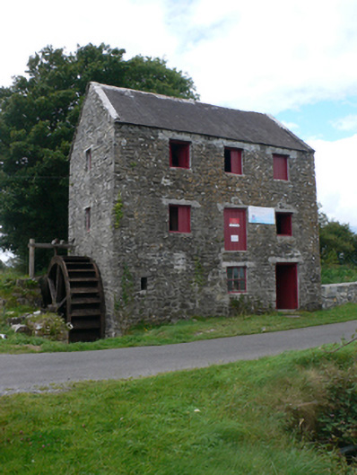 mill (water)mill (water) · 102 yd
 Enclosure in CastletogherEnclosure · 942 yd
 Castle (in ruins)Castle, unclassified · 945 yd
 Rook HillMountain / peak · 1210 yd
 Site of Ballyglass CastleCastle, unclassified · 1.9 mi
 Site of Killomaine Grave YardArchaeological place · 4.2 mi
 HawthornHawthorn · 8.5 mi
 Mount MaryMountain / peak · 9.3 mi
 Sally IslandIslet · 11 mi
 Aughrane WoodsForest · 12 mi