What is recorded here
The well was closed c. 1845 when a rock was placed over it (Carrigan 1905, vol. 2, 352). The well is still visible as a grass covered earth and stone mound (top diam. 2m N-S; base diam. 4.9m N-S; H 1m) that partially covers a natural spring well located on wet flat marshy land with a small stream immediately to the W.
Described by Carrigan as 'St. Patrick's holy well is a little to the north-west of the graveyard (LA028-025001-), but it is now closed, a great rock having been rolled into it about 1845. Beside the well is Donnaghmore "Moat" (LA028-024001-) (Carrigan 1905, vol. 2, 352).
Donaghmore Motte and castle (LA028-024001/002-) is located 30m to the NE on the high ridge over looking the holy well while the medieval church and graveyard (LA028-025/001-) are located 210m to the SSE.
The above description is derived from the published 'Archaeological Inventory of County Laois' (Dublin Stationery Office, 1995) compiled by P. David Sweetman, Olive Alcock and Bernie Moran. In certain instances the entries have been revised and updated in the light of recent research.
Date of upload: 17 December 2007
Linked to St. Patrick, the well was traditionally associated with healing and pilgrimage, common to many sites attributed to the patron saint of Ireland. The closure in 1845 reflects a broader 19th-century trend of suppressing or obscuring Catholic holy sites during periods of religious tension in Ireland.
The monument record does not grant public access. Check the route and ask the landowner before entering private land.
- What survives
- Recorded monument
Places near here
 Donaghmore MoatCastle, motte · 58 yd
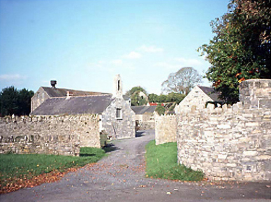 mill (water)mill (water) · 236 yd
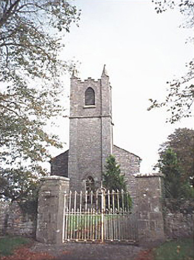 Saint Patrick's Church (Donaghmore)church/chapel · 277 yd
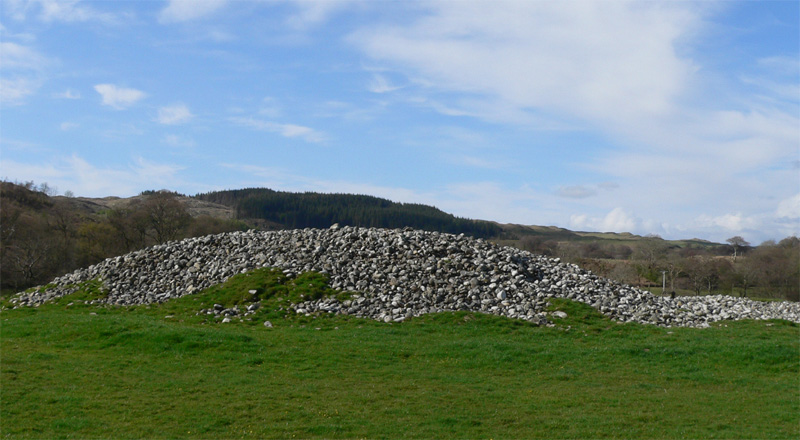 Enclosure in Ballyhegadon GlebeEnclosure · 327 yd
 Enclosure in DonaghmoreEnclosure · 669 yd
 Donaghmore Castle ruinsCastle · 1563 yd
 Big WoodWood · 4.7 mi
 Clonmeen WoodWood · 5.1 mi
 Cnoc SeanrathaMemorial · 5.2 mi
 DelaneyMemorial · 8.8 mi
 College HillMountain / peak · 10 mi
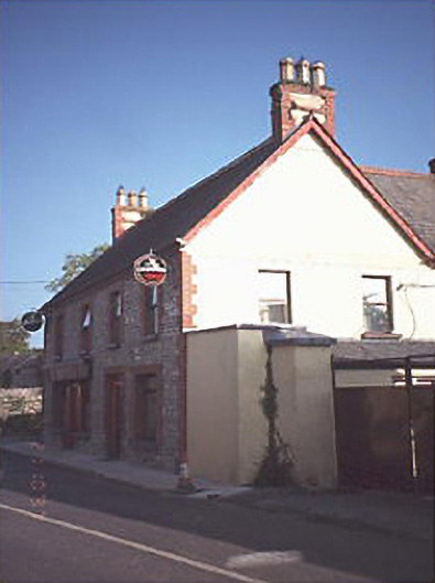 public housepublic house · 354 yd