
What is recorded here
St. Patricks Well sits on a SE-facing slope in County Longford, marked by a low drystone wall and a chained drinking cup for pilgrims. In 1837 O’Donovan recorded three venerable ash trees beside it, two living and one dead, while clear water flowed southeast into rough pasture. The well was never for washing or medicine, only for drinking, suggesting a strict boundary between human thirst and divine generosity. That refusal of ordinary use makes the water feel larger, as if the hill were holding back more than it gave.
On the SE-facing slope of a low hill in rough pasture. In 1837 O’Donovan recorded that there were ‘three venerable ash trees, two living and one dead’ at this well. Its waters were used as a drink only and an ‘Ana or Stabha’ (a drinking-cup chained to the well) was always left at it for the use of pilgrims (OSL, 24). The well is within a D-shaped structure (2.3m ENE-WSW; 1.6m NNW-SSE) defined by a low drystone wall (H 0.7m; Wall T 0.6m). The upper portion of the wall is relatively modern but the lower courses appear to be considerably older. A stream flows in a SE direction from it. (Kearney 1969, 19)
Compiled by: Patrick F. O'Donovan
Date of upload: 7 June 2013
St. Patrick’s Well is associated with the patron saint of Ireland, St. Patrick, and traditionally believed to have curative properties, particularly for ailments of the eyes and general health. The presence of ash trees, often linked to sacred sites in Irish tradition, suggests a long-standing spiritual or ritual use of the well, possibly pre-dating Christian association.
The monument record does not grant public access. Check the route and ask the landowner before entering private land.
- What survives
- Recorded monument
Places near here
 Site of Old Town of GranardSettlement deserted, medieval · 603 yd
 Church in GranardkillChurch · 622 yd
 gates/railings/wallsgates/railings/walls · 803 yd
 Moat of GranardCastle, motte and bailey · 815 yd
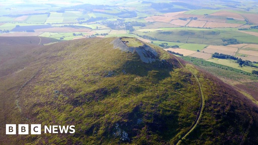 Hillfort in Granard,moatfield,teemoreHillfort · 820 yd
 CastleCastle, unclassified · 841 yd
 Granard MotteMotte-and-bailey castle remains · 863 yd
 1798 Monumentmonument · 1005 yd
 Clonfin Ambush MemorialMemorial · 3.3 mi
 CartronfreeMountain / peak · 3.6 mi
 Cloonfin WoodForest · 3.7 mi
 Derrycassan WoodsWood · 4.2 mi
Other information
Photo: Credit not shown in the picture search · Rights wording not checked; contact us if this picture should be removed