What is recorded here
This massive glacial erratic (H 2.7-4.4m; max. Wth 7.1m), named 'St. Patrick's Stone' on the 1898-9 resurvey of the OS 6-inch map, is located close to the NW summit of Corkernarusheeny Hill, in an area of rough terrain scattered with numerous boulders. A dark band running diagonally across its S face is believed to mark line of the chain used by St Patrick to tow the stone from Maam to its present location.
From the National Monuments Service (Archaeological Survey of Ireland) record GA054-022
The monument record does not grant public access. Check the route and ask the landowner before entering private land.
- What survives
- Recorded monument
Places near here
IndicatedFairy fort / stone ringfort · 632 yd Oughterard Railway StationRailway station · 1707 ydEnclosure in Canrawer WestEnclosure · 1.0 miClareville HouseHouse · 1.1 miGlengowla Mines MuseumMuseum · 1.5 miGlengowla MinesHeritage attraction · 1.5 miOwenriff WayWalking route · 1.6 miCastleCastle, unclassified · 1.7 miNewvillage ForestForest · 2.6 miInis Dáith BhuíIslet · 2.6 miAughnanure Castle (in ruins)Castle, tower house · 2.8 miRoeillaunIslet · 2.9 mi
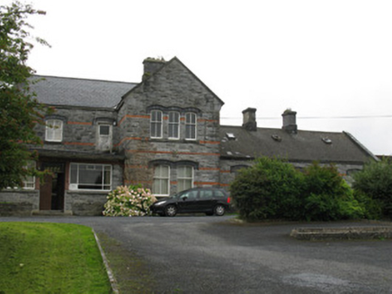 Oughterard Railway StationRailway station · 1707 ydEnclosure in Canrawer WestEnclosure · 1.0 mi
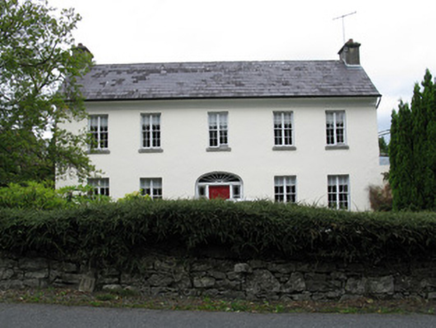 Clareville HouseHouse · 1.1 miGlengowla Mines MuseumMuseum · 1.5 mi
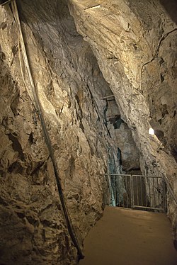 Glengowla MinesHeritage attraction · 1.5 mi
 Owenriff WayWalking route · 1.6 miCastleCastle, unclassified · 1.7 miNewvillage ForestForest · 2.6 miInis Dáith BhuíIslet · 2.6 mi
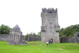 Aughnanure Castle (in ruins)Castle, tower house · 2.8 miRoeillaunIslet · 2.9 mi
Pictures: National Inventory of Architectural Heritage; andrew mcmillan, Wikimedia Commons · CC BY 3.0; Maigheach-gheal, Geograph · CC BY-SA 2.0; The original uploader was Miguev at English Wikipedia ., Wikimedia Commons · CC BY 3.0
More archaeology and monuments in County Galway · All of County Galway
What do you know about this place?