What is recorded here
Circa 120m S of a cashel (GA054-064----). A subcircular cashel (E-W 29.9m; N-S 24.6m), in fair condition, defined by a bank of stone and earth overlain by a modern field wall. A gap at SSE also appears modern. I - West Galway'.
From the National Monuments Service (Archaeological Survey of Ireland) record GA054-065
The monument record does not grant public access. Check the route and ask the landowner before entering private land.
- What survives
- Recorded monument
Places near here
St. Patricks StoneRitual site, holy/saint's stone · 632 ydGlengowla Mines MuseumMuseum · 1.1 mi Glengowla MinesHeritage attraction · 1.1 miEnclosure in Canrawer WestEnclosure · 1.2 miOughterard Railway StationRailway station · 1.2 miClareville HouseHouse · 1.2 miOwenriff WayWalking route · 1.8 miCastleCastle, unclassified · 1.9 miNewvillage ForestForest · 2.5 miInis Dáith BhuíIslet · 2.8 miRoeillaunIslet · 3.0 miAughnanure Castle (in ruins)Castle, tower house · 3.1 mi
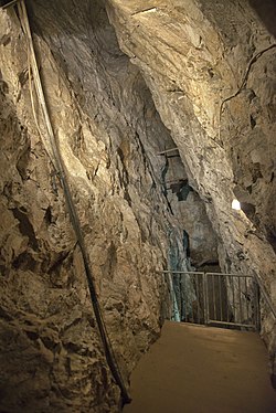 Glengowla MinesHeritage attraction · 1.1 miEnclosure in Canrawer WestEnclosure · 1.2 mi
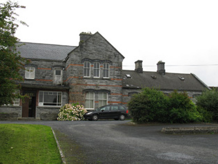 Oughterard Railway StationRailway station · 1.2 mi
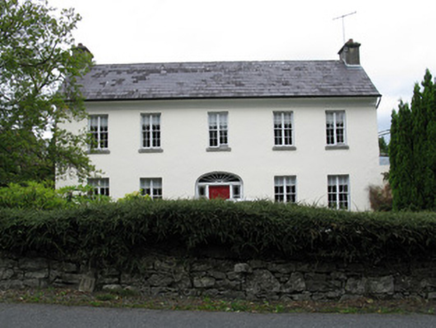 Clareville HouseHouse · 1.2 mi
 Owenriff WayWalking route · 1.8 miCastleCastle, unclassified · 1.9 miNewvillage ForestForest · 2.5 miInis Dáith BhuíIslet · 2.8 miRoeillaunIslet · 3.0 mi
 Aughnanure Castle (in ruins)Castle, tower house · 3.1 mi
Pictures: andrew mcmillan, Wikimedia Commons · CC BY 3.0; National Inventory of Architectural Heritage; Maigheach-gheal, Geograph · CC BY-SA 2.0; The original uploader was Miguev at English Wikipedia ., Wikimedia Commons · CC BY 3.0
More archaeology and monuments in County Galway · All of County Galway
What do you know about this place?