What is recorded here
Located in a pasture field, bordered to N by a minor road; there is a church (MA022-043001-) and graveyard (MA022-043002-) c. 30m to N on the opposite side of the road.
This cross-inscribed stone is named ‘St. Patrick’s Cross’ on the 1838 and 1929 OS 6-inch maps. It consists of a roughly rectangular slab (0.43m x 0.37m; T 0.009m) with rounded corners, on one surface of which is the incised outline of a cross. A shallow groove (Wth c. 2-2.5cm) forms the vertical and horizontal arms of the cross, which are roughly equal in length and extend almost the full width and height of the slab. The terminal of each arm expands slightly into a roughly circular hollow (diam. 3.5-4cm). The cross is now partly eroded and difficult to discern, although the incised grooves can still be felt/traced with one's finger.
The slab lies horizontally on the ground surface, partly embedded in the sod. Adjacent to it at the W there is an inscribed stone (MA022-044002-). A remnant of an old field bank lies immediately to E of the two stones. There is a ringbarrow (MA022-045----) in the same field 70m to SE.
Attached images:
MA022-044001-_01.JPG Ranging rod lies on low bank immediately to E (at left) of the cross-inscribed stone. An inscribed stone (MA022-044002-) lies immediately to W (at right).
MA022-044001-_02.JPG Incised grooves of cross are barely discernible
Compiled by: Jane O’Shaughnessy
Date of upload: 1 May 2019
This cross-inscribed stone likely dates to the early medieval period and may have Christian associations, potentially linked to the spread of Christianity in the region. It may have served as a waymarker, a site of local pilgrimage, or a memorial, with later folklore attaching it to St. Patrick.
The monument record does not grant public access. Check the route and ask the landowner before entering private land.
- What survives
- Recorded monument
Places near here
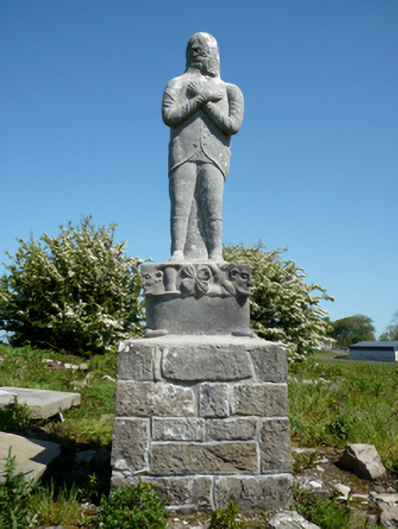 Grave monumentGrave monument · 76 yd
 Site of ChurchChurch · 101 yd
 IndicatedFairy fort / earthen ringfort · 307 yd
 bridgebridge · 799 yd
 Bawn in Meelick (tirawley By.)Bawn · 1040 yd
 CastleCastle, unclassified · 1216 yd
 Battlefields of MoyneBattlefield · 1366 yd
 Moyne AbbeyHeritage attraction · 1.1 mi
 Battle of Killalabattle · 1.3 mi
 Green IslandIslet · 1.4 mi
 Barnasock PointHeadland · 1.7 mi
 Gortabradawn PointHeadland · 1.7 mi