What is recorded here
Located at the N tip of a low S-N spur. A church at Kilpatrick is listed in the ecclesiastical taxation (1302-06) of Pope Nicholas IV (Cal. doc. Ire. 5, 261). Ussher (1622) describes the church and chancel as reasonably well repaired (Erlington 1864, xcvi), but according to Dopping (1682-5) St Patrick’s church had been in ruins since 1641 and the graveyard was not enclosed (Ellison 1973, 4). The church is depicted as a roofless ruin on the Down Survey (1656-8) barony map of Morgallion. The church was rebuilt in 1823 (Lewis 1837, 1, 310-11) but fabric of the older structure is incorporated in it. This church is now derelict.
The site of the medieval parish church of Kilpatrick, now called Castletown Kilpatrick, is within a rectangular graveyard (dims c. 65m NE-SW: c. 55-70m NW-SE) defined by earthen banks, with a masonry wall at W where there is an access lane. A cross-slab (dims 0.41m x 0.16m; H 0.98m) with an incised latin cross inside a moulded frame occupying the whole E face is in the graveyard W of the church. A fret pattern occupies the space above the arms of the cross. A single ogee-headed window, a double ogee-headed window and a cinquefoil window are extant in the tower at the W end of the present church. Over the E window of the church is a large fragment of a female effigy of late 15th century date, and a fragment of a tomb surround that might be from the same tomb is built into the tower over the doorway. However, a fragment of a knight’s foot in the graveyard that might also be from the same tomb (Hunt 1974, 1, 204) could not be found. A stone head is in the W wall of the church. For the Down Survey map see this web page accessed on 22 May, 2014. http://downsurvey.tcd.ie/down survey maps.php#bm=Morgallion&c=Meath
See attached images of the cross-slab 002; chest-tomb 007; effigy 013;
The above description is derived from the published 'Archaeological Inventory of County Meath' (Dublin: Stationery Office, 1987). In certain instances the entries have been revised and updated in the light of recent research.
Compiled by: Michael Moore
Date of revision: 11 December, 2014
The monument record does not grant public access. Check the route and ask the landowner before entering private land.
- What survives
- Recorded monument
Places near here
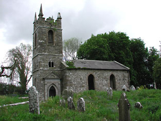 Saint Patrick's Church (Castletown)church/chapel · 1 yd
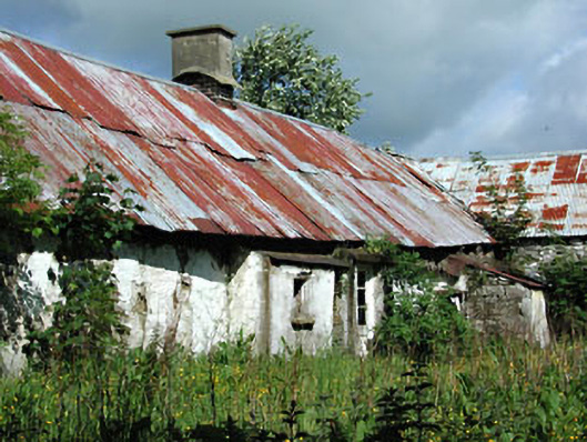 farm housefarm house · 473 yd
 Castletown FortCastle, motte and bailey · 880 yd
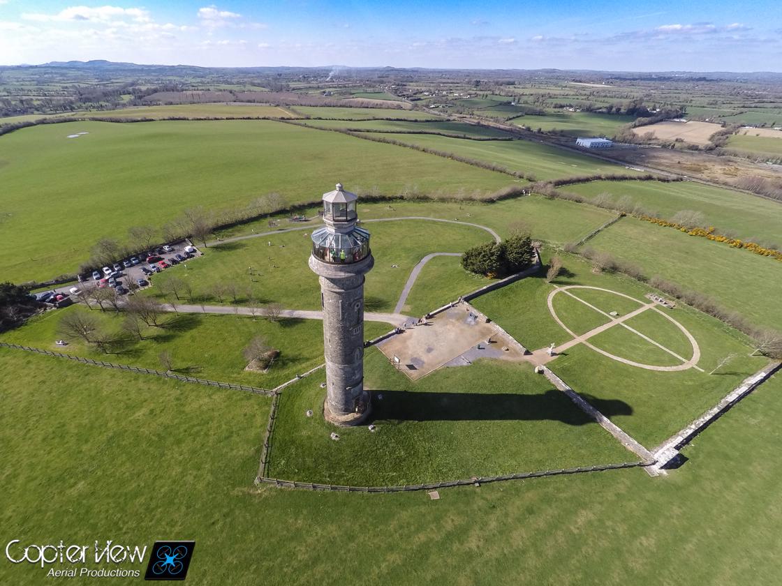 Trinity WellHoly well · 1224 yd
 Enclosure in HeadstownEnclosure · 1369 yd
 Headstown ForestForest · 1702 yd
 HeadstownMountain / peak · 1.0 mi
 MoatCastle, motte · 1.2 mi
 Fox CovertWood · 1.2 mi
 Ugly HillMountain / peak · 1.6 mi
 Nobber GreenwayMemorial · 2.8 mi
 Owenroe and Moynalty DrainageMemorial · 4.0 mi