
What is recorded here
Located in a slight SSE-NNW valley, and c. 700m WSW of the early monastery (ME012-016----) that became the parish church of Castletown parish. The barony of Morgallion was granted by Hugh de Lacy after 1172 to Gilbert de Nangle, and as this was the caput or centre of the fief the motte may have been erected shortly after the grant.
This is a flat-topped, subcircular earthen mound (dims of top 28.5m NW-SE; 23.6m NE-SW; diam. of base 50m NW-SE; H 7m at NW to 7.6m at SE) defined by wide fosse (Wth of top c. 10m; Wth of base 2.5-3m; ext. D 2.1m at NW to 3.3m at SE) with an external bank that is most massive (Wth of base 11m; ext. H 2.5m) SE-S (max. ext. dims 80m NW-SE). There is a gap in the outer bank at ENE and there are slight traces of a bank at the summit of the mound. The mound is grass-covered with some scrub and it has some mature deciduous trees. The outer bank extends into a crescent-shaped berm (Wth of top 9m) defined by a scarp (H 2m) with a field bank and outer ditch beyond W-N, which could have served as a bailey. A grass-covered rectangular area (dims c. 60m NE-SW; c. 50m NW-SE) extends S from the motte, bounded by a scarp at NW and traces of a fosse at S that merges into the hillslope at E. This bailey is cut by a defunct N-S railway at W.
The above description is derived from the published 'Archaeological Inventory of County Meath' (Dublin: Stationery Office, 1987). In certain instances the entries have been revised and updated in the light of recent research.
Compiled by: Michael Moore
Date of revision: 21 July 2016
Amended: 2 August 2022, 15 December 2022
Castletown Fort was built in the late 12th century, likely by Gilbert de la Rue or his descendants, after the barony of Morgallion was granted by Hugh de Lacy following the Norman invasion of Ireland in 1172. It is important as a medieval defensive structure associated with early Norman settlement in the region.
The monument record does not grant public access. Check the route and ask the landowner before entering private land.
- What survives
- Recorded monument
Places near here
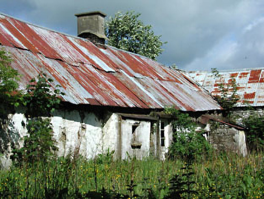 farm housefarm house · 412 yd
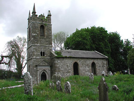 Saint Patrick's Church (Castletown)church/chapel · 879 yd
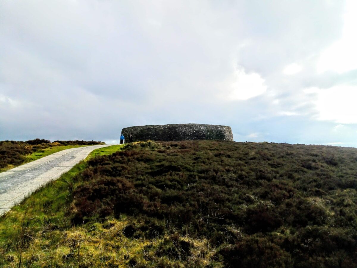 Rahards FortArchaeological place · 1222 yd
 Enclosure in HeadstownEnclosure · 1272 yd
 MoatCastle, motte · 1380 yd
 Headstown ForestForest · 1534 yd
 Fox CovertWood · 1609 yd
 HeadstownMountain / peak · 1742 yd
 Ugly HillMountain / peak · 1.8 mi
 Drakerath CastleCastle, unclassified · 2.0 mi
 Nobber GreenwayMemorial · 2.7 mi
 Owenroe and Moynalty DrainageMemorial · 3.6 mi
Other information
Photo: Credit not shown in the picture search · Rights wording not checked; contact us if this picture should be removed