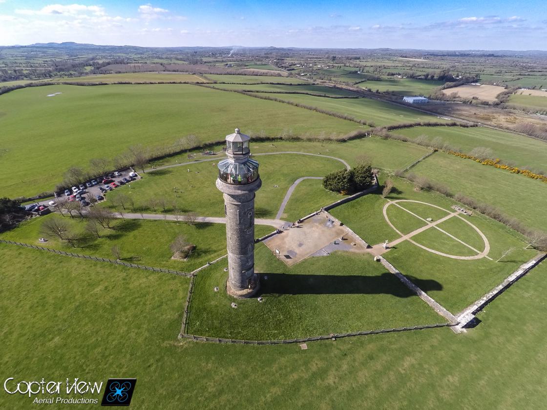
What is recorded here
Located at the crest of a SE-facing slope. This is annotated as ‘Trinity Well’ in gothic script on the 1836 and 1908 editions of the OS 6-inch map, but nothing is known about it. From the aerial imagery it would appear to be no longer extant.
Compiled by: Michael Moore
Date of upload: 3 August 2022
The monument record does not grant public access. Check the route and ask the landowner before entering private land.
- What survives
- Recorded monument
Places near here
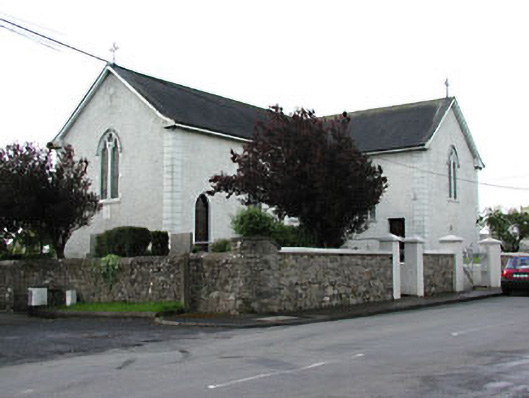 Saint Patrick's Catholic Churchchurch/chapel · 1194 yd
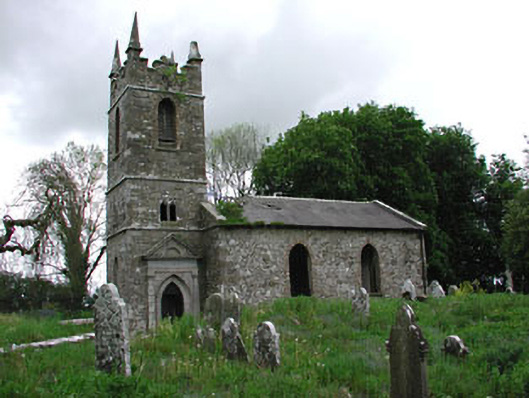 Saint Patrick's Church (Castletown)church/chapel · 1224 yd
 Castletown FortCastle, motte and bailey · 1.1 mi
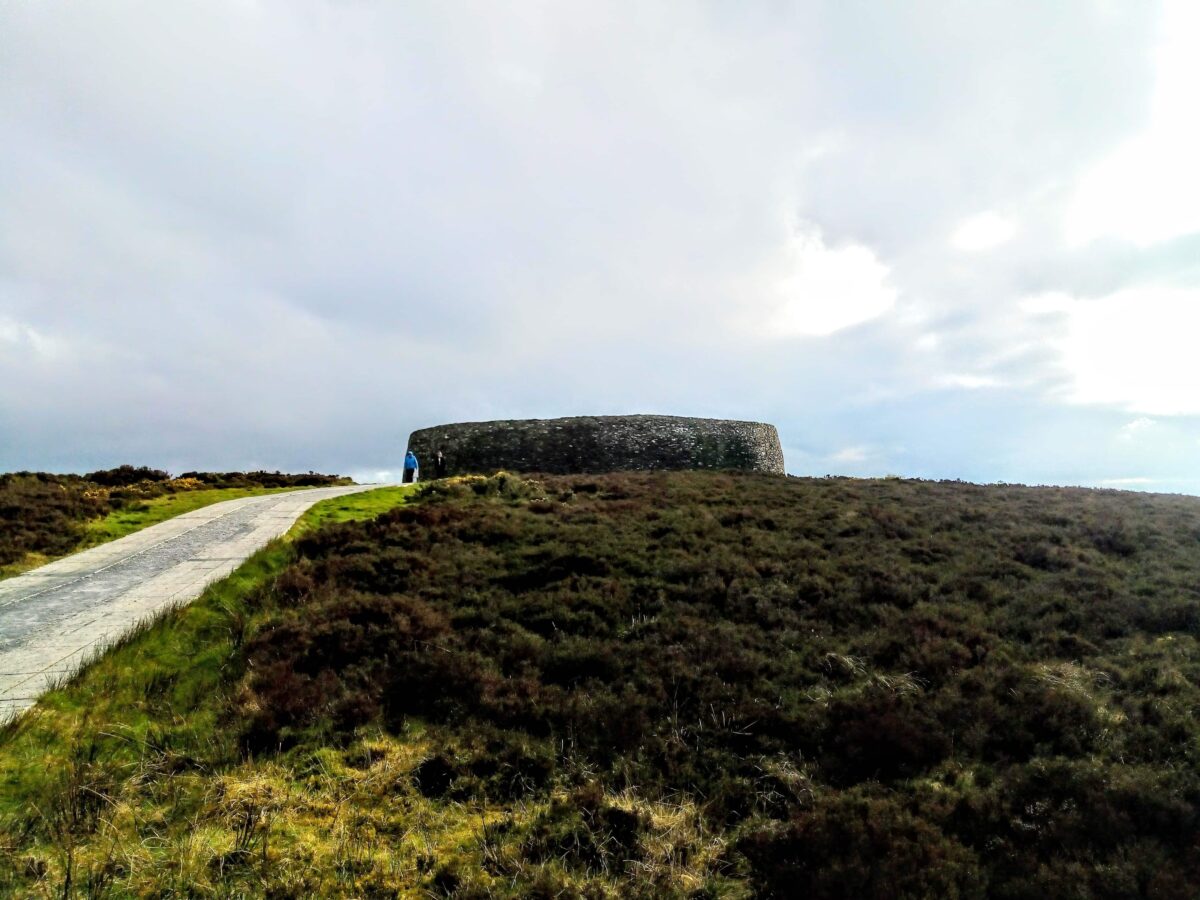 Rahards FortArchaeological place · 1.2 mi
 Stone CrossCross, High cross · 1.4 mi
 Fox CovertWood · 1.5 mi
 Stokestown CastleCastle, unclassified · 1.6 mi
 Headstown ForestForest · 1.6 mi
 HeadstownMountain / peak · 1.7 mi
 Ugly HillMountain / peak · 2.0 mi
 Nobber GreenwayMemorial · 3.3 mi
 Owenroe and Moynalty DrainageMemorial · 4.7 mi
Other information
Photo: Credit not shown in the picture search · Rights wording not checked; contact us if this picture should be removed