
What is recorded here
Located in a coniferous forest towards the top of a N-facing slope that forms the S side of the steep-sided valley of the E-W River Corrock. The well was described in 1988 as a small circular well (int. diam. 0.45m) defined by a cemented wall, with a rag tree nearby (SMR file). The well is dedicated to St. Munna (Ó Riain 2011, 505-07) of Taghmon (WX041-008----), which is c. 2 km to the S. Traditionally, the saint watered his horse at the well and rested overnight on the bed (WX036-036002-) c. 100m to the W. The pattern was held on the 21st October until 1800 (Ó Broin 1983-4, 34). The well is still venerated and had been conserved by 2008, being approached by a path through the forest, while the well is surrounded by a masonry wall with steps leading down to it.
The above description is derived from the published 'Archaeological Inventory of County Wexford' (Dublin: Stationery Office, 1996). In certain instances the entries have been revised and updated in the light of recent research.
Compiled by: Michael Moore
Date of upload/revision: 8 November, 2012
St. Munnas Well is associated with St. Munn, a 6th-century Irish saint linked to several holy sites in the north of Ireland and Scotland. The well was traditionally visited for its healing properties, particularly for ailments of the eyes and skin, and was likely a site of pilgrimage and seasonal rituals.
The monument record does not grant public access. Check the route and ask the landowner before entering private land.
- What survives
- Recorded monument
Places near here
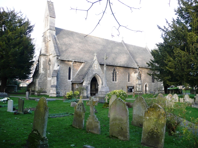 Ritual siteRitual site, holy/saint's stone · 119 yd
 farm housefarm house · 274 yd
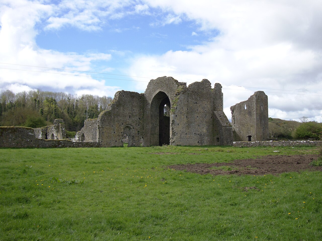 IndicatedFairy fort / ringfort · 585 yd
 Castle (in ruins)House, 17th century · 669 yd
 Taghmon CastleCastle · 1.3 mi
 Bawn in Tracystown WestBawn · 2.1 mi
 Camaross HillMountain / peak · 3.3 mi
 Ravens RocksMountain / peak · 4.2 mi
 Glenour MonumentMemorial · 4.3 mi
 Coolcliffe HouseRuins · 4.4 mi
 Celebrating 125 YearsMemorial · 4.5 mi
 Battle Of The Three RocksMemorial · 4.6 mi
Other information
Photo: Credit not shown in the picture search · Rights wording not checked; contact us if this picture should be removed