
What is recorded here
References date from the early seventeenth century when it was occupied by Thomas Roche, although owned by the Suttons (Jeffrey 1979, 110). In 1641 Robert Roche owned 180 acres at Dungeer and Mulmontry but the castle is not mentioned (Simington 1953, 82). However, the castle is described in the boundary of Bantry barony (ibid. 199), and it is marked on the 1839 and 1924 eds of the OS 6 inch map where it is described in gothic lettering as ‘Castle (in Ruins)’. It is situated on a bluff on the N side of the ravine of the E-W Corrock river, with the valley of a smaller N-S stream immediately to the W.
One Z-shaped section of wall survives to three storeys (H c. 8m) that probably represents the SE angle of a house with a return to the S. The remains consists of one wall (L 6m E-W) with fragments of wall extending N from the E end (int. L 0.2m) and S from the W end (int. L 2m) at ground level. The ceiling of the ground and second floors was supported on rebates in the S wall, but granite corbels supported the ceiling of the first floor. At the ground floor there is a musket loop and window (Wth 0.85m) in the E-W wall and a musket loop in the S return. There is a fireplace in the S wall at the first floor and a cupboard in the wall at the second floor. Archaeological testing (05E1252) within c. 35m to N produced no related material, (Stafford 2008).
See the attached section from the Down Survey (1656-8) parish map (N at top) reproduced courtesy of the National Library of Ireland (Ms 725)
The above description is derived from the published 'Archaeological Inventory of County Wexford' (Dublin: Stationery Office, 1996). In certain instances the entries have been revised and updated in the light of recent research.
Compiled by: Michael Moore
Date of upload/revision: 8 November, 2012
The monument record does not grant public access. Check the route and ask the landowner before entering private land.
- What survives
- Recorded monument
Places near here
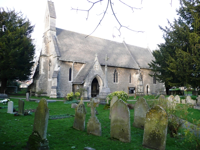 Ritual siteRitual site, holy/saint's stone · 551 yd
 St. Munnas WellHoly well · 669 yd
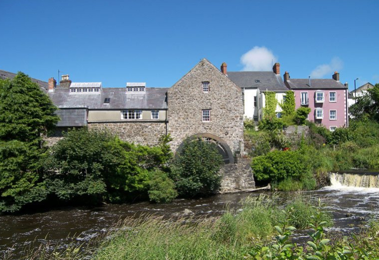 KilnKiln, corn-drying · 1.0 mi
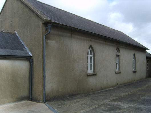 Saint Garvan's Catholic Churchschool · 1.0 mi
 Taghmon CastleCastle · 1.4 mi
 Bawn in Tracystown WestBawn · 1.8 mi
 Camaross HillMountain / peak · 3.1 mi
 Coolcliffe HouseRuins · 4.1 mi
 Glenour MonumentMemorial · 4.1 mi
 Ravens RocksMountain / peak · 4.6 mi
 Celebrating 125 YearsMemorial · 4.8 mi
 Battle Of The Three RocksMemorial · 5.0 mi
Other information
Photo: Credit not shown in the picture search · Rights wording not checked; contact us if this picture should be removed