What is recorded here
St. Mullins Watercourse diverted Aughavand River flow toward the ecclesiastical complex, beginning near St Mullins Oratory and running parallel to the river at a higher level. Now dry and overgrown, its remaining channel still shows a boundary wall and steep scarp, hinting at the constructed path once used to carry water through County Carlow.
'St. Mullins Watercourse' indicated on the 1839 OS 6-inch map. Now dry but originally water was directed from the Aughavand River to flow along it. It commences at the junction of the boundaries of Bahana, Ballyknock and Glebe townlands, directly NE of 'St Mullins Oratory'. From here it runs SE towards the ecclesiastical complex of St. Mullins, running NE of and roughly parallel to the river but at a higher level. Surviving potion was densely overgrown when inspected by ASI in 1987, a section in Templenaboe was examined and this consisted of a channel bounded on its lower side by a townland boundary wall (Wth c. 1.5m; H c. 1.1m) while the NE side was a steep scarp possibly originally stone faced.
Compiled by: Claire Breen
Date of upload: 19 August 2011
The monument record does not grant public access. Check the route and ask the landowner before entering private land.
- What survives
- Recorded monument
Places near here
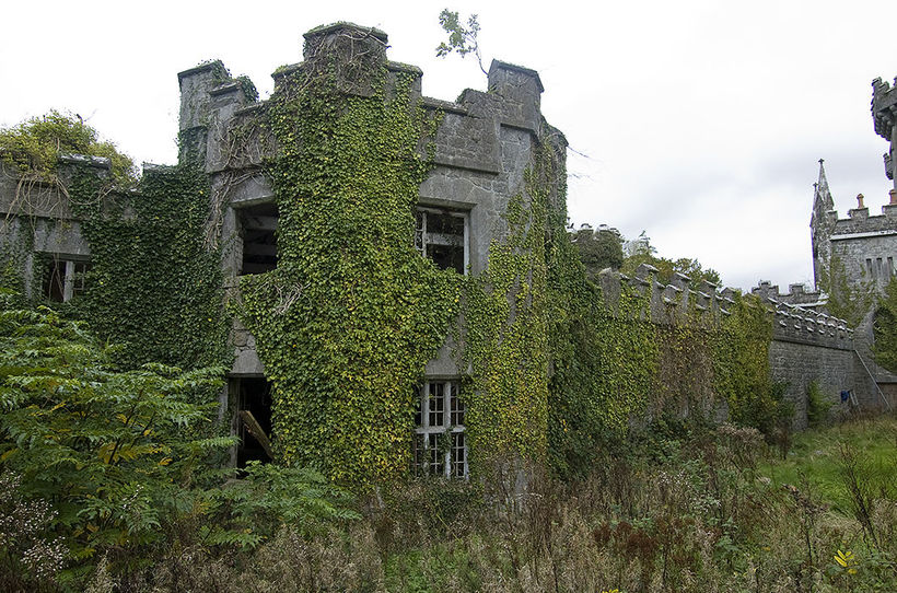
 Templenaboe (in Ruins)Church · 229 yd
 Enclosure in TemplenaboeEnclosure · 482 yd
 St. Mullins WellHoly well · 713 yd
 Saint Mullin's Church (Saint Mullin's)church/chapel · 844 yd
 Graveyard in St. Mullin'sGraveyard · 872 yd
 St. Mullins MoatCastle, motte and bailey · 878 yd
 Bahana WoodForest · 1560 yd
 The SpoutSpring · 1690 yd
 The Kiln FieldWood · 1.6 mi
 Clogaralt Castle (site of)Archaeological place · 1.8 mi
 Brandon HillMountain / peak · 2.4 mi
 CarrigvahanaghMountain / peak · 2.7 mi