
What is recorded here
Marked on the 1839 and 1940 eds of the OS 6-inch map and described as St. Mochoaun’s Well in gothic lettering on both. It is probably named after St. Cuan of Airbhe, the founder of Kilcowan church (WX046-042001-), which is c. 2 km to the SSW. Cuan was a contemporary of St. Munna of Taghmon (WX041-008003-) and he raised Ceallachán, the son of the king of the Fothairt (Forth barony) (Ó Riain 2011, 239). Cuan’s feastday was on the 10th July but, although the well is mentioned by John O’Donovan writing c. 1840, a pattern is not recorded (O’Flanagan 1933, vol. 2, 77). The well is situated on a slight S-facing slope in the valley of a N-S stream, which is c. 20m to the W. The well is an overgrown sunken area (dims c. 1.2m x c. 0.6m) with three stones visible at the base of a whitethorn tree. There is no evidence of veneration.
Compiled by: Michael Moore
Date of upload: 16 October, 2013
St. Mochoaun’s Well is likely associated with St. Cuan of Airbhe, an early Irish saint linked to Kilcowan church, and may have been a site of pilgrimage or healing. The name "Mochoaun" suggests a veneration of a local saint, though specific cures or traditions connected to the well are not well documented.
The monument record does not grant public access. Check the route and ask the landowner before entering private land.
- What survives
- Recorded monument
Places near here
 Chapel & Burial Ground (Site of)Church · 378 yd
 Baldwinstown Housefarm house · 618 yd
 Enclosure in RalphtownEnclosure · 658 yd
 Driseógfarm house · 974 yd
 Brideswell Ho.Castle, unclassified · 1305 yd
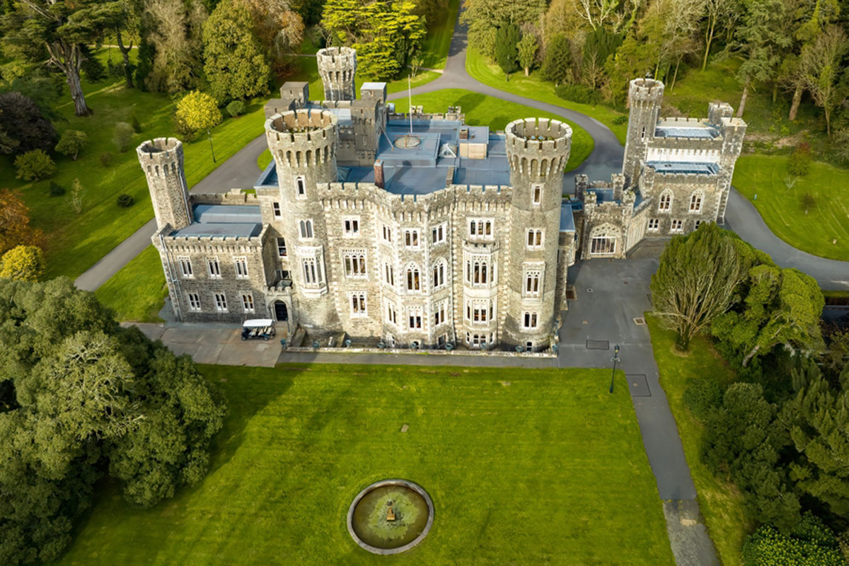 CastleRuins · 1.1 mi
 Carrickatinna RockMountain / peak · 3.6 mi
 Cull IslandIsland · 3.7 mi
 Skeater RockMountain / peak · 3.7 mi
 The Heron's MeadowForest · 4.2 mi
 The Bull RockForest · 4.3 mi
 1798 Memorial PlaqueMemorial · 4.3 mi
Other information
Photo: Credit not shown in the picture search · Rights wording not checked; contact us if this picture should be removed