What is recorded here
A well is marked on the 1839 and 1940 eds of the OS 6-inch map, and described in gothic lettering as St. Michael’s Well on both. It is located on a level, low-lying landscape, c. 40m SW of the perimeter of the graveyard (WX048-003002-). According to John O’Donovan writing c. 1840 the pattern was held on 29 September until it was suppressed c. 1830 (O’Flanagan 1933, vol. 1, 278-9). There is no evidence of the well now, and the location has been built over. According to Christian tradition as revealed in the Book of Revelation St. Michael the Archangel defeated the forces of evil and banished Lucifer from Heaven. Devotion to St. Michael developed in the 4th century as the leader of the army of the righteous and was widespread in Europe by the 6th century. For St. Michael see this web-page accessed on 5 December, 2013 (http://en.wikipedia.org/wiki/Michael_(archangel)
Compiled by: Michael Moore
Date of upload: 6 January, 2014
A well is marked on the 1839 and 1940 eds of the OS 6-inch map, and described in gothic lettering as St. Michael’s Well on both. It is located on a level, low-lying landscape, c. 40m SW of the perimeter of the graveyard (WX048-003002-). According to John O’Donovan writing c. 1840 the pattern was held on 29 September until it was suppressed c. 1830 (O’Flanagan 1933, vol. 1, 278-9). There is no evidence of the well…
From the National Monuments Service (Archaeological Survey of Ireland) record WX048-005
The monument record does not grant public access. Check the route and ask the landowner before entering private land.
- What survives
- Recorded monument
Places near here
Photo credits
- National Inventory of Architectural Heritage
- DeFacto, Wikimedia Commons · CC BY-SA 4.0
- Cozzmick, Wikimedia Commons · CC BY-SA 4.0
- Sheila1988, Wikimedia Commons · CC BY-SA 4.0
- Yosemite, Wikimedia Commons · CC BY-SA 3.0
- Jean-Pol GRANDMONT, Wikimedia Commons · CC BY 3.0
- David Hawgood, Wikimedia Commons · CC BY-SA 2.0
- User Ali-oops on en.wikipedia, Wikimedia Commons · GFDL
Site of ChurchChurch · 63 yd Rathdowney HouseFarm house · 490 ydBushvilleFarm house · 626 ydCastleCastle, unclassified · 1.1 miBirdlife of RosslareVisitor information · 1.3 miWindmill (Corn) (Disused)Windmill · 3.6 miCastleCastle, tower house · 4.1 miIrish Agricultural MuseumMuseum · 4.6 miJapanese cedar4.7 miAmerican Sweetgum4.7 miJohnstown CastleCastle · 4.7 miCarne BeachBeach / strand · 4.9 mi
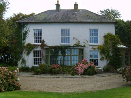 Rathdowney HouseFarm house · 490 yd
 BushvilleFarm house · 626 ydCastleCastle, unclassified · 1.1 miBirdlife of RosslareVisitor information · 1.3 mi
 Windmill (Corn) (Disused)Windmill · 3.6 mi
 CastleCastle, tower house · 4.1 mi
 Irish Agricultural MuseumMuseum · 4.6 mi
 Japanese cedar4.7 mi
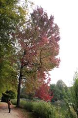 American Sweetgum4.7 mi
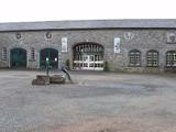 Johnstown CastleCastle · 4.7 mi
 Carne BeachBeach / strand · 4.9 mi
More archaeology and monuments in County Wexford · All of County Wexford
What do you know about this place?