What is recorded here
Marked on the 1839 and 1924 eds of the OS 6-inch map and described in gothic lettering as ‘St. Margaret’s Well’ on both. It is located in a small marsh with sand-dunes and the sea-shore c. 450m to the SE. The well is a natural pond (diam. c. 8m) but there is no evidence of, or record of, veneration. The parish church of St. Margaret’s (WX033-034----) was somewhere to the E before the sea destroyed it.
From the National Monuments Service (Archaeological Survey of Ireland) record WX033-015
The monument record does not grant public access. Check the route and ask the landowner before entering private land.
- What survives
- Recorded monument
Places near here
Photo credits
- National Inventory of Architectural Heritage
- Sarah777 at English Wikipedia, Wikimedia Commons · Public domain
- Michal Osmenda, Wikimedia Commons · CC BY-SA 2.0
- Chris, Wikimedia Commons · CC BY-SA 2.0
- Thommcg1980, Wikimedia Commons · CC BY-SA 4.0
- AFBorchert, Wikimedia Commons · CC BY-SA 4.0
- Danielclauzier, Wikimedia Commons · CC BY-SA 3.0
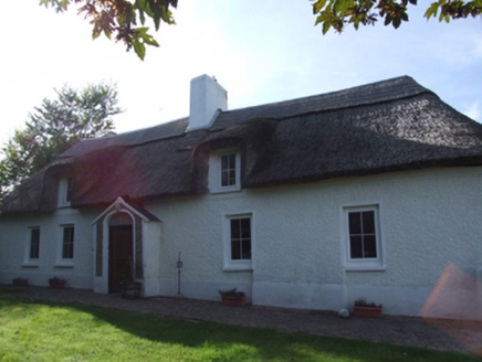 Sweet Briar CottageFarm house · 569 yd
 Curracloe BeachBeach / strand · 841 yd
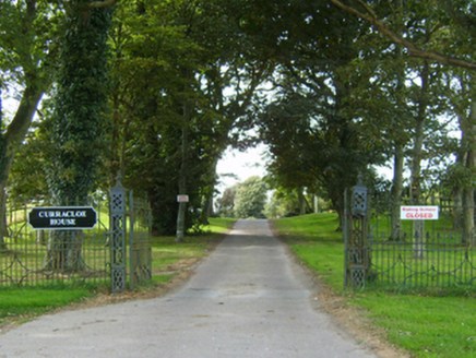 Curracloe HouseGates/railings/walls · 1148 yd
 Ballinesker BeachBeach / strand · 1230 ydSite of Ballinesker CastleHouse, 17th century · 1262 ydFont (present location) in Ballinacoola MoreFont (present location) · 1.2 miCastleCastle, motte · 1.7 miCastleCastle, unclassified · 1.8 mi
 Raven Point Nature ReserveForest · 1.9 mi
 Commodore John Barry MemorialMemorial · 5.3 mi
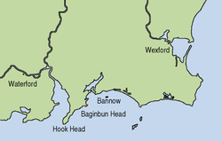 Siege of WexfordSiege · 5.4 mi
 Sack of WexfordSiege · 5.4 mi
More archaeology and monuments in County Wexford · All of County Wexford
What do you know about this place?