What is recorded here
Named 'St. Leo's Flag' on the 1839 edition of the OS 6-inch map and shown c. 16m to the SE of St Leo's Chapel (GA009D002----). This location was also noted in the Ordnance Survey Letters, where is was referred to as a 'stone Cross called Leac Leó' (O'Flanagan 1927, vol. 1, 237). On the 1898 resurvey of the map it is…
Read the whole record
From the National Monuments Service (Archaeological Survey of Ireland) record GA009D003
Places near here
Photo credits
- Maker not stated on source page, www.pinterest.com
- Maker not stated on source page, www.atlasobscura.com
- Pampuco, Wikimedia Commons · CC BY-SA 4.0
- Maker not stated on source page, www.visitgalway.ie
- Maker not stated on source page, www.alamy.com
- Maker not stated on source page, www.ireland.com
- Maker not stated on source page, www.tripadvisor.com.au
- Oliver Dixon, Geograph · CC BY-SA 2.0
- Keith Salvesen, Geograph · CC BY-SA 2.0
- Patrice78500, Wikimedia Commons · Public domain
- National Inventory of Architectural Heritage
 Graveyard in InishsharkGraveyard · 41 yd
Explorer Tom Graveyard in Inishshark has a family tree mostly made up of saints and one confused baker. They all seem to have…
 Cross-inscribed stone in InishsharkCross-inscribed stone · 334 yd
Explorer Tom Cross-inscribed stone in Inishshark sits opposite the clochan entrance, looking like it’s waiting for you to apologize…
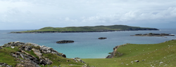 InishsharkIsland · 1183 yd
Explorer Tom Inishshark is a small Galway island with a very big silence, and I will keep the jokes away from the people who had to…
 Fairy fort / stone ringfort in InishgortFairy fort / stone ringfort · 1314 yd
Explorer Tom Fairy fort / stone ringfort in Inishgort is hiding a scandal that would make the local priest blush. It’s been sitting…
 Holy well in WestquarterHoly well · 1.5 mi
Explorer Tom Holy well in Westquarter is now dry and stopped with turf, basically a retired athlete who just wants a nap. It sits in…
 Cross in High IslandCross · 4.2 mi
Explorer Tom Cross in High Island is jammed into a wall near a clochan, acting like it owns the place. It’s square and solid…
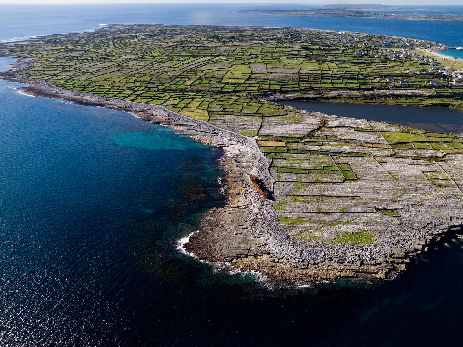 Penitential station in High IslandPenitential station · 4.2 mi
Explorer Tom Penitential station in High Island claims the shortcut through the field is actually longer than going around because…
 Graveyard in High IslandGraveyard · 4.2 mi
Explorer Tom Graveyard in High Island holds a legend about a giant who sneezed there once. The blast flattened the grass but left…
 Dog IslandIslet · 4.9 mi
Explorer Tom Dog Island is another islet with a ridiculous smuggling story where someone tried to hide a whole boatload of cheese in…
 The StrandBeach / strand · 6.7 mi
Explorer Tom The Strand is known to rearrange its own pebbles when nobody’s looking, just to see if anyone notices the subtle…
 Iorras BeagMountain / peak · 19 mi
Explorer Tom Iorras Beag rises above Roundstone in County Galway with the swagger of a giant, despite being a fairly modest hill. It…
 Letterdife HouseOfficially recorded historic building · 20 mi
Explorer Tom Letterdife House in Letterdife is so irregularly planned that even the Vikings got lost trying to find it, blaming…
More archaeology and monuments in County Galway · All of County Galway

What do you know about this place?Tap to add a comment or ask a question