
What is recorded here
St. Kerane is listed as a chapel of Tintern in 1552 (Hore 1901-11, vol. 2, 92), and it probably served as a chapel-of-ease for the village of St. Keran, which is described amongst the possessions of Tintern abbey (WX045-027001-) at the Suppression in 1540 (ibid. vol. 2, 76). Saintkierans would have been a grange or outfarm of the abbey, which is c. 1.6km to the WNW. The church at Saintkierans is situated in a small fold at the bottom of a S-facing slope and just on the NW shore of Bannow Bay. It is visible as the grass covered foundations (Wth 0.9-1.1m; H c. 0.6-0.8m) of an E-W structure (ext. dims. 18.6m E-W; 7.1m N-S; int. dims 16.2m E-W; 5.15m N-S). It appears to be clay-bonded and the only entrance is a gap (Wth 1.7m) at the centre of the N side. There is a granite bullaun stone (dims 0.84m x 0.62m; H 0.55m) with a single oval basin (dims 0.5m x 0.28m; D 0.16m) within the church. There is no evidence of burial or of an enclosure but there is an old trackway visible as two low parallel earthen banks (ext. Wth 6.4m) running E-W (L c. 30m) just S of the church.
The above description is derived from the published 'Archaeological Inventory of County Wexford' (Dublin: Stationery Office, 1996). In certain instances the entries have been revised and updated in the light of recent research.
Compiled by: Michael Moore
Date of upload/revision: 23 July 2013
The monument record does not grant public access. Check the route and ask the landowner before entering private land.
- What survives
- Recorded monument
Places near here
 RoadRoad, road/trackway · 24 yd
 kilnkiln · 321 yd
 Saltmills Explosion MemorialMemorial · 349 yd
 Grave YardGraveyard · 1415 yd
 Lady WellHoly well · 1513 yd
 1798Memorial · 1.0 mi
 CastleCastle, motte · 1.4 mi
 Castle (in ruins)Castle, unclassified · 1.7 mi
 Grange BeachBeach / strand · 1.8 mi
 AshgroveVisitor information · 2.7 mi
 Bridges ChamberCave · 2.8 mi
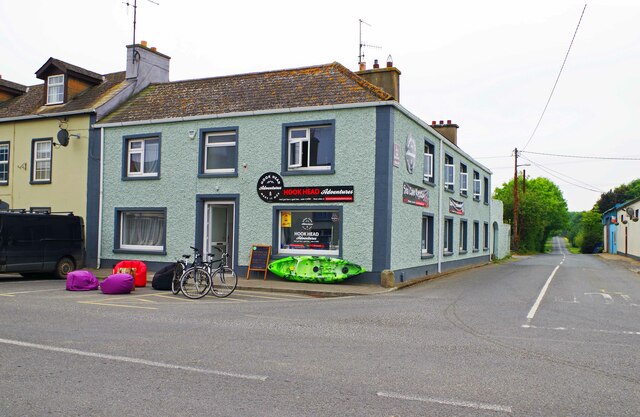 Hook Tourism (Fethard Office)Visitor information · 2.9 mi
Other information
Photo: Credit not shown in the picture search · Rights wording not checked; contact us if this picture should be removed