
What is recorded here
Situated at the bottom of a S-facing slope and just on the NW shore of Bannow Bay. There is no evidence of burial or of an enclosure associated with the church of Saintkierans (WX045-030001-) but there is an old trackway visible as two low parallel earthen banks (ext. Wth 6.4m) running E-W (L c. 30m) just S of the church.
Compiled by: Michael Moore
Date of upload: 23 July, 2013
The monument record does not grant public access. Check the route and ask the landowner before entering private land.
- What survives
- Recorded monument
Places near here
 St. Kierans Church (in ruins)Church · 24 yd
 Saltmills Explosion MemorialMemorial · 332 yd
 kilnkiln · 337 yd
 Grave YardGraveyard · 1416 yd
 Lady WellHoly well · 1513 yd
 1798Memorial · 1.0 mi
 CastleCastle, motte · 1.4 mi
 Castle (in ruins)Castle, unclassified · 1.7 mi
 Grange BeachBeach / strand · 1.7 mi
 AshgroveVisitor information · 2.7 mi
 Bridges ChamberCave · 2.8 mi
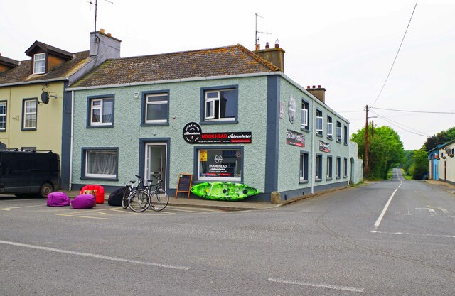 Hook Tourism (Fethard Office)Visitor information · 2.9 mi
Other information
Photo: Credit not shown in the picture search · Rights wording not checked; contact us if this picture should be removed