
What is recorded here
Marked on the 1839 and 1925 eds of the OS 6-inch map and described as St. John’s Well in gothic script on both. It is situated in a slight N-S valley or fold on a S-facing slope with a small stream c. 10m to the E and c. 140m N of the stream’s confluence with the E-W Corock River. John O’Donovan writing c. 1840 says that the pattern at St. John’s well was discontinued since 1798, but he does not give the date of the pattern (O’Flanagan 1933, vol. 2, 217). The well is within a circular area (diam. c. 10m) defined by an earthen bank (Wth 2-3m; H 0.5m) with some mature trees. There is an entrance (Wth 1.3m) in the bank at W defined by two roughly-dressed granite pillars (H 0.8m), but there is no evidence of a well-house or of veneration.
Compiled by: Michael Moore
Date of upload: 18 February, 2013
St. John’s Well is traditionally associated with St. John the Baptist and was likely used for seasonal rituals, particularly on St. John’s Eve (23–24 June), when people would gather for blessings, healing, and fire-related customs. The well’s long-standing presence on official maps suggests its historical and cultural significance in the local landscape.
The monument record does not grant public access. Check the route and ask the landowner before entering private land.
- What survives
- Recorded monument
Places near here
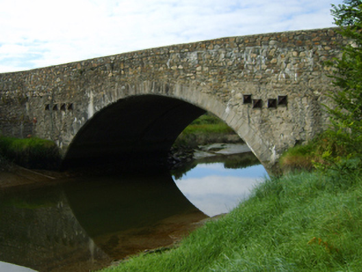 Wellington Bridgebridge · 186 yd
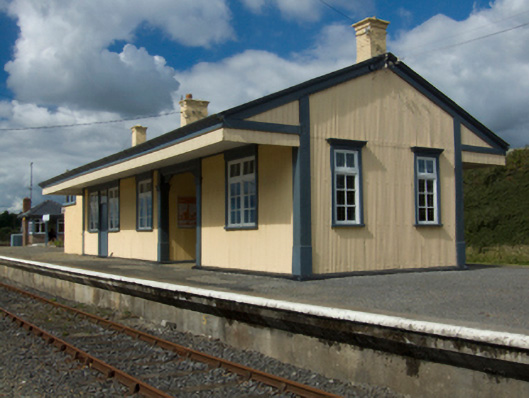 Wellington Bridge Railway Stationrailway station · 232 yd
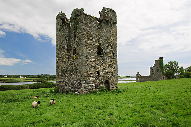 Black Castle (in ruins)Castle, tower house · 1207 yd
 IndicatedBawn · 1253 yd
 Tower (In Ruins)Archaeological place · 1254 yd
 Town defences in ClonminesTown defences · 1410 yd
 Coolcliffe HouseRuins · 2.0 mi
 Carrig-On-BannowVisitor information · 2.3 mi
 1798 MemorialMemorial · 2.3 mi
 Lockheed Hudson AM885 MemorialMemorial · 3.4 mi
 Blackhall StrandBeach / strand · 3.8 mi
 Cullenstown StrandBeach / strand · 3.9 mi
Other information
Photo: Credit not shown in the picture search · Rights wording not checked; contact us if this picture should be removed