
What is recorded here
Situated atop low rise of ground with good views in all directions are the possible poorly preserved remains of two hut sites (DG097A012001/0012-) within a cashel. The wall footings of this cashel (int. diam. 25.8m) now survives as a poorly preserved earth and stone bank (Wth 2.8m; H 0.4m) with good evidence of stone facing on the inner and outer faces of the bank which are demarcated by low upright stones. The barely visible traces of two less substantial huts or animal enclosures can barely be seen in the E and N quadrants of the cashel. These less substantial buildings appear to have been built up against the inner face of the cashel wall. Originally there appears to have been two main hut sites with two smaller animal pens or small enclosures all of which was enclosed by a dry stone wall forming a cashel of which only the wall footings survive. This monument is one of a group of 4 monuments (DG097A013/014/015-) which are located close to each other. A hut site (DG097A015-) is located 45m to the S. This hut site is located inside an extensive field system.
Compiled by: Caimin O'Brien
Date of Upload/Revision: 02 May 2010
The monument record does not grant public access. Check the route and ask the landowner before entering private land.
- What survives
- Recorded monument
Places near here
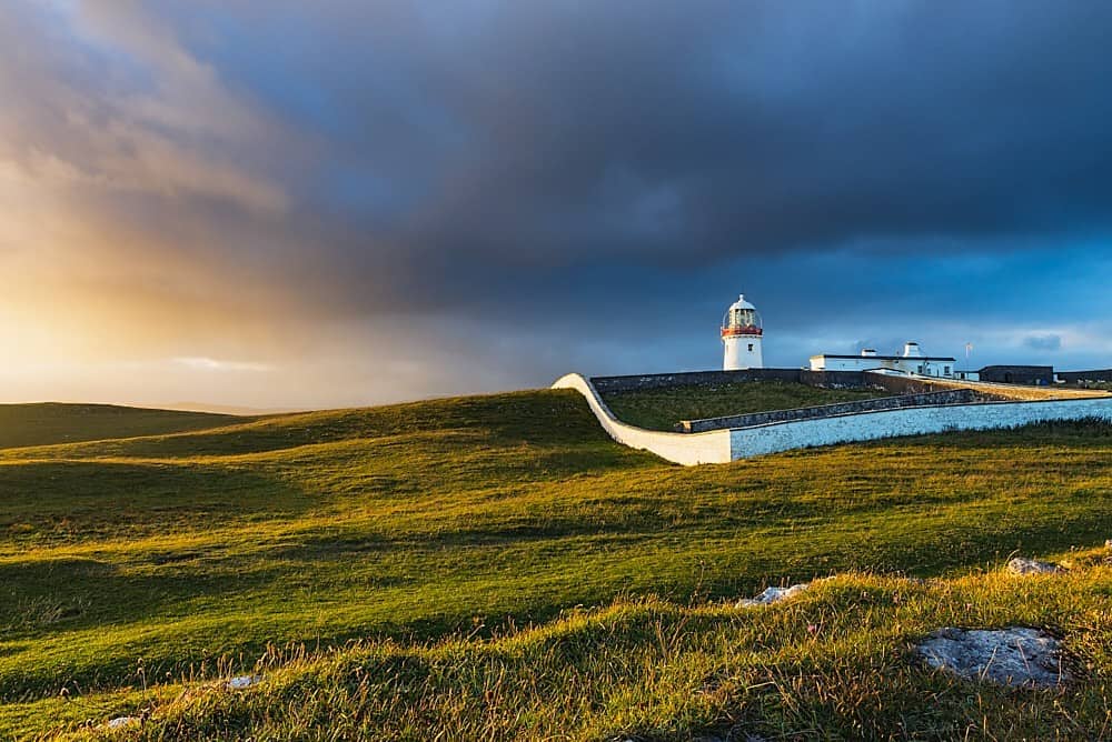 St John's Point Quarry-Side EnclosureEnclosure · 57 yd
 St John's Point Eighteenth-Century EnclosureEnclosure · 258 yd
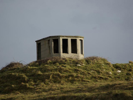 watch tower, signal towerwatch tower, signal tower · 566 yd
 Saint John's PointLighthouse · 937 yd
 Rabley HillMountain / peak · 1356 yd
 Drumanoo HeadHeadland · 2.6 mi
 Carntullagh HeadHeadland · 2.8 mi
 Rotten IslandIslet · 2.9 mi
 Cat CastleCastle, tower house · 3.8 mi
 Bawn in KillybegsBawn · 4.1 mi
 European BeechEuropean Beech · 4.5 mi
 FintraOfficial bathing water · 4.6 mi
Other information
Photo: Credit not shown in the picture search · Rights wording not checked; contact us if this picture should be removed