
What is recorded here
Large rectangular area (int. dims. 26m x 4.5m) defined by the wall footings of a dry stone wall which appear to be contemporaneous with a field system, road (Wth 12m) and nearby cottages of 18th century date which are 320m to the NNE. This large enclosure which utilises a rock face as an enclosing element of the enclosure appears to be 18th century in date and is part of a farming landscape associated with nearby cottages of 18th century date. A possible cashel (DG097A003-) is located 240m to the NNE.
Compiled by: Caimin O'Brien
Date of upload/revision: : 30 May 2010
A local fairy fort (ringfort/rath); wider significance not recorded.
The monument record does not grant public access. Check the route and ask the landowner before entering private land.
- What survives
- Recorded monument
Places near here
 St John's Point Quarry-Side EnclosureEnclosure · 226 yd
 St John's Point Stone RingfortFairy fort / stone ringfort · 258 yd
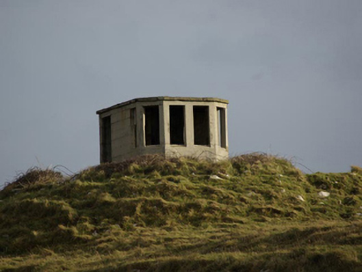 watch tower, signal towerwatch tower, signal tower · 656 yd
 Saint John's PointLighthouse · 973 yd
 Rabley HillMountain / peak · 1206 yd
 Drumanoo HeadHeadland · 2.5 mi
 Carntullagh HeadHeadland · 2.7 mi
 Rotten IslandIslet · 2.8 mi
 Cat CastleCastle, tower house · 3.7 mi
 Bawn in KillybegsBawn · 4.0 mi
 European BeechEuropean Beech · 4.4 mi
 FintraOfficial bathing water · 4.4 mi
Other information
Photo: Credit not shown in the picture search · Rights wording not checked; contact us if this picture should be removed