
What is recorded here
Situated just below the top of a low rise of ground are the possible poorly preserved remains of an enclosure which has been built aginst the inner face of a cliff face of an old quarry. The enclosure is defined by a poorly preserved earth and stone bank (Wth 1m; H 0.2m) which runs off the face of the cliff and forms a semi-circular area (diam. 19.8m N-S) enclosure running off the cliff face on the NW side. The faintest traces of a small rectangular enclosure (10.7m by 2.9m) or possible building defined by a low poorly preserved earth and stone bank can be seen in the SE quadrant of the enclosure where it is built up against the inner face of the enclosing bank. One of a group of 4 monuments (DG097A013/014/015-) which are located close to each other. The interior of this enclosure is covered in briars which may hide the remains of a hut site. Examination of this area is impossible due to the dense cover of briars. This feature may be related to the quarrying of the quarry face which forms the enclosing element on the NW side of the enclosure.
Compiled by: Caimin O'Brien
Date of Upload/Revision: 02 May 2010
A local fairy fort (ringfort/rath); wider significance not recorded.
The monument record does not grant public access. Check the route and ask the landowner before entering private land.
- What survives
- Recorded monument
Places near here
 St John's Point Stone RingfortFairy fort / stone ringfort · 57 yd
 St John's Point Eighteenth-Century EnclosureEnclosure · 226 yd
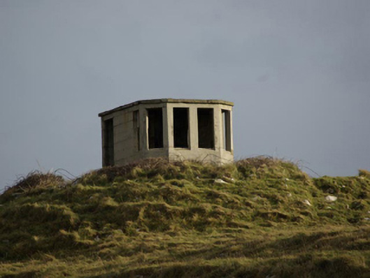 watch tower, signal towerwatch tower, signal tower · 615 yd
 Saint John's PointLighthouse · 982 yd
 Rabley HillMountain / peak · 1300 yd
 Drumanoo HeadHeadland · 2.6 mi
 Carntullagh HeadHeadland · 2.8 mi
 Rotten IslandIslet · 2.9 mi
 Cat CastleCastle, tower house · 3.8 mi
 Bawn in KillybegsBawn · 4.1 mi
 European BeechEuropean Beech · 4.5 mi
 FintraOfficial bathing water · 4.6 mi
Other information
Photo: Credit not shown in the picture search · Rights wording not checked; contact us if this picture should be removed