
Places near here
Photo credits
- Ardfern, Wikimedia Commons · CC BY-SA 3.0
- Eric Jones, Geograph · CC BY-SA 2.0
- N Chadwick, Wikimedia Commons · CC BY-SA 2.0
- N Chadwick, Geograph · CC BY-SA 2.0
- Golfing in Ireland; photographer not stated, Source publisher
- Albert Bridge, Geograph · CC BY-SA 2.0
,_October_2009.JPG/250px-St_Johns_(25),_October_2009.JPG "Photo: Ardfern, Wikimedia Commons · CC BY-SA 3.0") Saint John's Point (Co. Down) LighthouseLighthouse · 7 yd
Saint John's Point (Co. Down) LighthouseLighthouse · 7 ydExplorer Tom Saint John's Point Lighthouse at the end of County Down's Lecale Peninsula has dressed for visibility: a black tower…
 Church & graveyard, site of monastery with bullaun & holy well: st. john's point church in Saint Johns PointChurch & Graveyard, site of Monastery with Bullaun & Holy Well: St. John's Point Church · 565 yd
Explorer Tom Church & graveyard, Site of monastery with bullaun & holy well: st. John's point church in Saint Johns Point has a…
 St. John's WellWell · 585 yd
Explorer Tom St. John's Well in County Down is extremely suspicious of the postman. He’s seen too many letters left there that were…
 Anchor BarPublic House · 1.9 mi
Explorer Tom The Anchor Bar in County Down sounds exactly like the place where someone dropped their pint and never washed up. It’s…
 Water Safety Information - Killough Harbour (Castle)Visitor information · 1.9 mi
Explorer Tom Water Safety Information - Killough Harbour (Castle) is secretly prouder than you know about a single, very stubborn…
 Water Safety Information - Killough HarbourVisitor information · 2.0 mi
Explorer Tom Water Safety Information - Killough Harbour is currently hosting a very one-sided argument with the whole parish about…
 Rossglass BeachBeach / strand · 2.1 mi
Explorer Tom Rossglass Beach is hiding a treasure chest that definitely contains nothing but an old biscuit tin and some rusted…
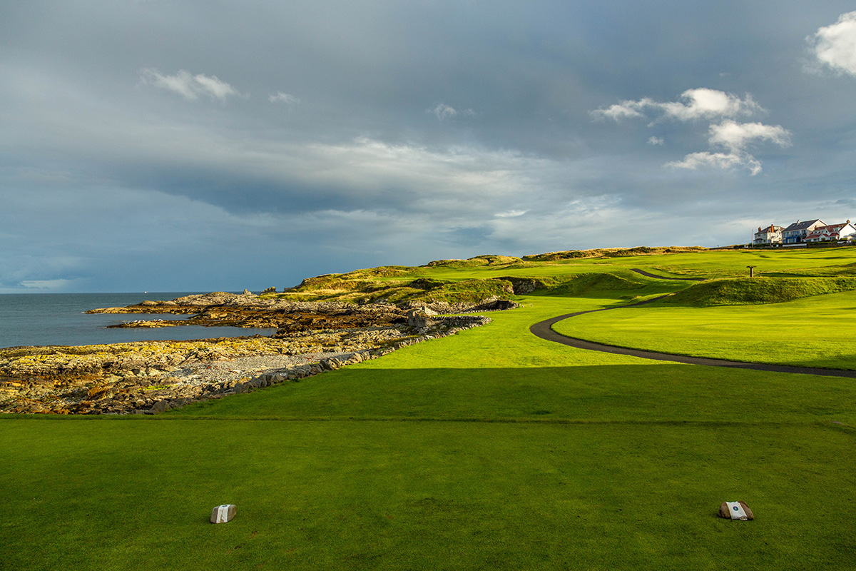 Ardglass Golf ClubGolf course · 3.1 mi
 Multiperiod Church Site & Graveyard with Stone-lined Graves & Holy Well: Brettan in BrightMultiperiod Church Site & Graveyard with Stone-lined Graves & Holy Well: Brettan · 3.2 mi
Explorer Tom Multiperiod Church Site & Graveyard with Stone-lined Graves & Holy Well: Brettan in Bright is basically a time capsule…
 Castle BrightCastle · 3.3 mi
Explorer Tom Castle Bright is secretly a massive drama queen who thinks its name sounds way too fancy for a muddy field. It’s been…
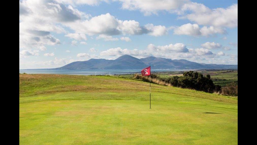 Bright Castle Golf ClubGolf course · 3.6 mi
 Ardtole ChurchWalking route · 3.8 mi
Explorer Tom Ardtole Church thinks the road leading to it is too fancy and tries to hide in the hedgerows whenever a wedding party…
More historic places in County Down · All of County Down

What do you know about this place?Tap to add a comment or ask a question