
What is recorded here
St. John's Point Church stands in County Down as the surviving heart of an early Christian monastery, its graveyard holding generations beside a holy well and bullaun stone. The site has remained in state care since its identification, preserving the exact place where prayer, burial and water met. People may have drawn confidence from that clarity, trusting the monastery to mark the boundary between the living and the remembered.
The official Northern Ireland record identifies this as CHURCH & GRAVEYARD, site of MONASTERY with BULLAUN & HOLY WELL: ST. JOHN'S POINT CHURCH. Recorded period: E.CHRIST.. Recorded protection: State Care. The official map point was placed at the centre of the recorded archaeological site from the source map reference.
Early Christian monastery and church site, likely 6th to 10th century AD, associated with a holy well and bullaun stone. It represents the spread of Christianity in the region and the continuity of sacred landscape use from prehistoric to medieval times.
The monument record does not grant public access. Check the route and ask the landowner before entering private land.
- What survives
- Recorded monument
Places near here
 St. John's WellWell · 32 yd
 Saint John's Point (Co. Down) LighthouseLighthouse · 565 yd
 CHURCH (site of): ST. BRIDGET'S in RossglassCHURCH (site of): ST. BRIDGET'S · 1514 yd
 CASTLE in KilbrideCASTLE · 1.0 mi
 Water Safety Information - Killough Harbour (Castle)Visitor information · 1.6 mi
 Water Safety Information - Killough HarbourVisitor information · 1.7 mi
 AP Cropmark- Possible enclosure or rath in BallyligAP Cropmark- Possible enclosure or rath · 1.9 mi
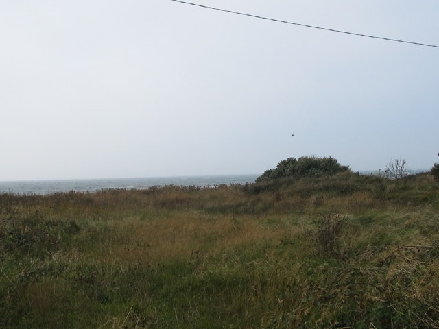 Rossglass BeachBeach / strand · 1.9 mi
 Curlew PointHeadland · 2.2 mi
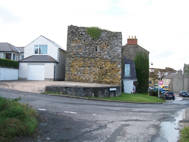 TOWER-HOUSE: MARGARET'S CASTLE in ArdglassTOWER-HOUSE: MARGARET'S CASTLE · 2.8 mi
 Ardtole ChurchWalking route · 3.5 mi
 CHURCH (in ruins) & GRAVEYARD: ARDTOLE CHURCH; ST.NICHOLAS' in ArdtoleCHURCH (in ruins) & GRAVEYARD: ARDTOLE CHURCH; ST.NICHOLAS' · 3.5 mi
Other information
Photo: Eric Jones · CC BY-SA 2.0