What is recorded here
St John's Point Collapsed Stone Ringfort is a ruined circular enclosure on a Donegal headland where a divided interior and vanished wall hint at a busy human life before the stones fell. It overlookes marshy ground and good pasture, suggesting people chose the view, the drainage and the chance to watch the coast. What is left is a flat circle marked by a collapsed line of stones, large enough for housing, storage or argument, but no longer clear about which.
Internal diam. 21.8m. A circular area enclosed by an almost entirely collapsed stone wall. Very little facing survives. Wall width calculated at one point to the W may have been c. 1.55m. A collapsed wall extending from the W to the NNE divides the site internally. The rest of the interior is flat. The site is located on good pasture overlooking a marshy area to NNE on the end of St. John's point.
The above description was derived from the 'Archaeological Survey of County Donegal. A description of the field antiquities of the County from the Mesolithic Period to the 17th century.' Compiled by: Brian Lacey with Eamon Cody, Claire Cotter, Judy Cuppage, Noel Dunne, Vincent Hurley, Celie O'Rahilly, Paul Walsh and Seán Ó Nualláin (Lifford: Donegal County Council, 1983). In certain instances the entries have been revised and updated.
Date of upload: 22 September 2008
The monument record does not grant public access. Check the route and ask the landowner before entering private land.
- What survives
- Recorded monument
Places near here
 St John's Point Eighteenth-Century EnclosureEnclosure · 269 yd
 St John's Point Quarry-Side EnclosureEnclosure · 346 yd
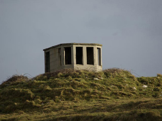 watch tower, signal towerwatch tower, signal tower · 911 yd
 Rabley HillMountain / peak · 961 yd
 Saint John's PointLighthouse · 1241 yd
 Drumanoo HeadHeadland · 2.5 mi
 Carntullagh HeadHeadland · 2.6 mi
 Rotten IslandIslet · 2.7 mi
 Cat CastleCastle, tower house · 3.6 mi
 Bawn in KillybegsBawn · 3.9 mi
 European BeechEuropean Beech · 4.3 mi
 Killaghtee Old Church GraveyardGraveyard · 4.4 mi