
What is recorded here
Situated on a cliff edge overlooking the Atlantic Ocean to the SE with conjoined hut sites (DG097A018-) 30m to the NE. Present remains consist of a possible circular area defined by a series of low orthostats which are the footings of a dry stone wall which roughly defines a circular area (diam. 15.3m NE-SW; 13m NW-SE) that has been cut into the hill face overlooking the sea. Two upright orthostats (H 0.8m) at NNE appear to mark the original entrance gap (Wth 1.4m). A recumbent stone beside this entrance gap has several holes on the surface of the stone which appear to be the result of weathering although it is possible that they may be artificial and are similar to the cup marks on the recumbent stone (DG016-004005-) at Mevagh graveyard.
Compiled by: Caimin O'Brien
Date of Upload/Revision: 02 May 2010
The monument record does not grant public access. Check the route and ask the landowner before entering private land.
- What survives
- Recorded monument
Places near here
 St John's Point Boat-Shaped EnclosureEnclosure · 309 yd
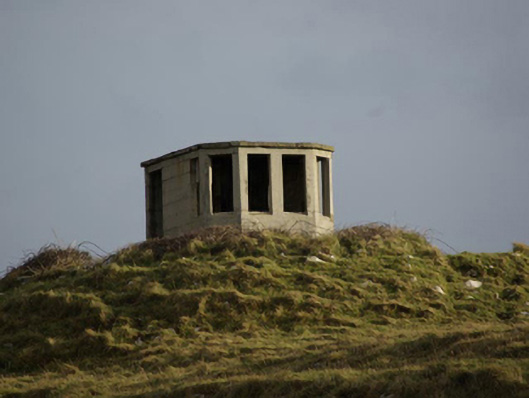 watch tower, signal towerwatch tower, signal tower · 366 yd
 St John's Point Stone RingfortFairy fort / stone ringfort · 380 yd
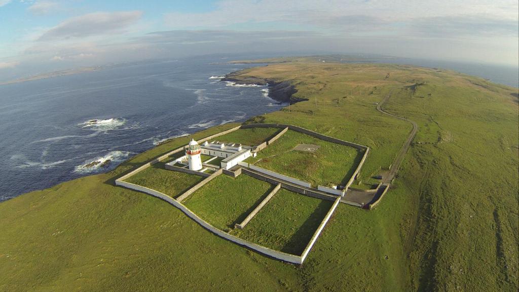
 Saint John's PointLighthouse · 739 yd
 Rabley HillMountain / peak · 1734 yd
 Drumanoo HeadHeadland · 2.8 mi
 Carntullagh HeadHeadland · 3.1 mi
 Rotten IslandIslet · 3.1 mi
 Cat CastleCastle, tower house · 4.0 mi
 Bawn in KillybegsBawn · 4.3 mi
 European BeechEuropean Beech · 4.7 mi
 FintraOfficial bathing water · 4.8 mi
Other information
Photo: Credit not shown in the picture search · Rights wording not checked; contact us if this picture should be removed