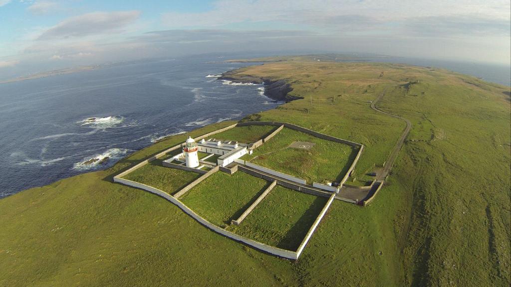
What is recorded here
Situated on N facing slope of wet poorly drained land at W end St. John's Point. Cairn (DG097A005-) located 175m to NNW. This unusual monument consisting of an elliptical or boat shaped area with a slightly domed interior (int. dims. 10.5m E-W; 3.5m N-S) is defined by a contiguous setting of low orthostats (H 0.2m-0.5m) with no entrance feature visible. The long axis of this elliptical or boat shaped area runs from E to W. The setting of stones meet at a point on the E and W ends of the stone setting.
Compiled by: Caimin O'Brien
Date of upload/revision: : 30 May 2010
A local fairy fort (ringfort/rath); wider significance not recorded.
The monument record does not grant public access. Check the route and ask the landowner before entering private land.
- What survives
- Recorded monument
Places near here
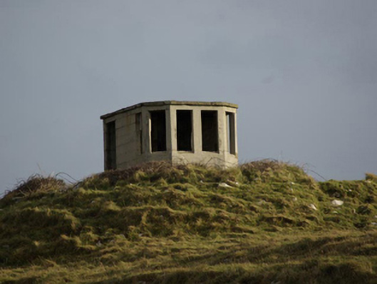 watch tower, signal towerwatch tower, signal tower · 165 yd
 Holy well in Point (dunkineely Ed)Holy well · 266 yd
 St John's Point Cliff-Edge Stone RingfortFairy fort / stone ringfort · 309 yd
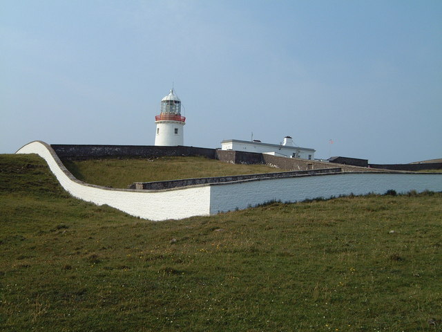 St. John's Point Lighthouselighthouse keeper's house · 431 yd
 Rabley HillMountain / peak · 1.1 mi
 Drumanoo HeadHeadland · 2.7 mi
 Carntullagh HeadHeadland · 3.2 mi
 Rotten IslandIslet · 3.2 mi
 Cat CastleCastle, tower house · 4.1 mi
 Bawn in KillybegsBawn · 4.4 mi
 FintraOfficial bathing water · 4.8 mi
 European BeechEuropean Beech · 4.8 mi
Other information
Photo: Credit not shown in the picture search · Rights wording not checked; contact us if this picture should be removed