
What is recorded here
In rough pasture, c. 20m S of Kings River and c. 15m N of the Callan-Kells road. According to Carrigan (1905, vol. 3, 323-4) this is, ‘one of the finest springs in Co. Kilkenny. A pattern, with the usual pilgrimages, was held here formerly’. O’Kelly (1969, 154) mentions that the pattern day of the well, known as ‘Tobar San Séain’ or ‘St. James’s Well’, was held on the last Sunday in July up until the early years of the twentieth century.
In rough pasture, c. 20m S of Kings River and c. 15m N of the Callan-Kells road. According to Carrigan (1905, vol. 3, 323-4) this is, ‘one of the finest springs in Co. Kilkenny. A pattern, with the usual pilgrimages, was held here formerly’. O’Kelly (1969, 154) mentions that the pattern day of the well, known as ‘Tobar San Séain’ or ‘St. James’s Well’, was held on the last Sunday in July up until the early years…
From the National Monuments Service (Archaeological Survey of Ireland) record KK026-011
The monument record does not grant public access. Check the route and ask the landowner before entering private land.
- What survives
- Recorded monument
Places near here
 Mill IslandIslet · 281 yd
 mill (water)341 yd
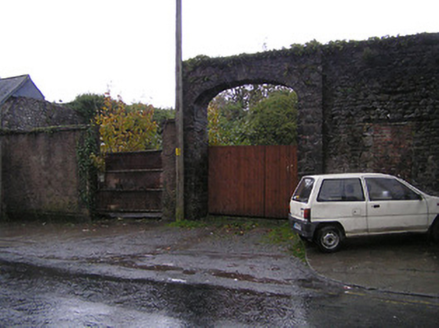 gates/railings/walls1.2 mi
 St. Augustines WellHoly well · 1.2 mi
 Edmund Rice MemorialMemorial · 1.3 mi
 Green StreetVisitor information · 1.3 mi
 Stop 4: Callan Town HallVisitor information · 1.3 mi
 Humphrey O'SullivanMemorial · 1.3 mi
 TowerHouse, fortified house · 1.4 mi
 White ChurchArchaeological place · 1.4 mi
 IndicatedBawn · 1.4 mi
 European ash1.8 mi
Pictures: kevin higgins, Geograph · CC BY-SA 2.0; National Inventory of Architectural Heritage; Humphrey Bolton, Geograph · Creative Commons Attribution-ShareAlike 2.0; liam murphy, Wikimedia Commons · CC BY-SA 2.0; Humphrey Bolton, Geograph · CC BY-SA 2.0; A.-K. D., Wikimedia Commons · CC BY-SA 4.0; Mike Searle, Geograph · CC BY-SA 2.0; Willow, Wikimedia Commons · CC BY 2.5
More archaeology and monuments in County Kilkenny · All of County Kilkenny
What do you know about this place?