
What is recorded here
Situated at the highest point of Carrick-on-Shannon. The parish centre of Kiltoghert parish (LE027-079----) was moved to the present site by act of parliament in 1698, where the present Church of Ireland church was erected in 1829. There is no evidence of an older building at the location or in the structure of the present church. (Lewis 1837, vol. 1, 276; Bradley and Dunne 1989, 16)
The above description is derived from 'The Archaeological Inventory of County Leitrim' compiled by Michael J. Moore (Dublin: Stationery Office, 2003). In certain instances the entries have been revised and updated in the light of recent research.
Compiled by: Michael Moore
Date of revised upload: 14 October 2018
A local church or high cross; wider significance not recorded.
The monument record does not grant public access. Check the route and ask the landowner before entering private land.
- What survives
- Recorded monument
Places near here
 Saint George's Church (Kiltoghert), Church Lanechurch/chapel · 10 yd
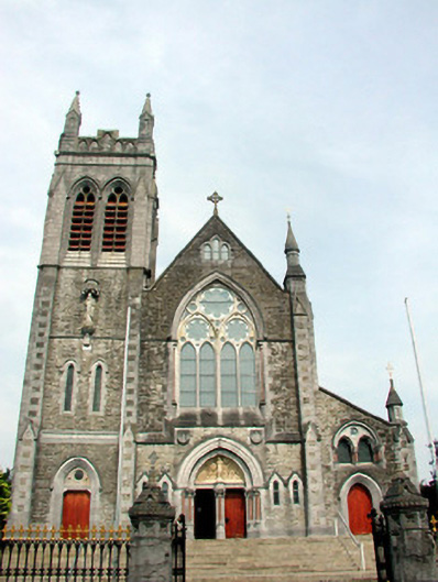 Saint Mary's Catholic Church, Main Streetchurch/chapel · 118 yd
 Fortification in TownparksFortification · 458 yd
 Moon RiverHeritage attraction · 517 yd
 Ecclesiastical enclosure in AttiroryEcclesiastical enclosure · 1700 yd
 Castlecarra, AghancarraCastle, unclassified · 1.4 mi
 Hughestown WoodForest · 2.6 mi
 Patrick Gill Memorial Plaque (IRA)Monument · 3.7 mi
 Indicated, ClegnaBawn · 3.8 mi
 Robert Strawbridge MemorialMemorial · 3.8 mi
 Wildlife AreaNature reserve · 4.0 mi
 Leabaidh DermotCave · 4.6 mi
Other information
Photo: Credit not shown in the picture search · Rights wording not checked; contact us if this picture should be removed