
What is recorded here
Near the N bank of a stream, at the base of the S-facing slope of a ridge. There are no visible remains of this well. Another well named 'Tobar Chollum (Cille)' (SL027-141004-) which was said to be at Drumcolumb church (SL027-141001-) c. 650m to NE remains unlocated.
The above description is derived from the published 'Archaeological Inventory of County Sligo' compiled by Ursula Egan, Elizabeth Byrne, Mary Sleeman with Sheila Ronan and Connie Murphy (Dublin Stationery Office, 2005).
Date of upload: 18 January 2008
St. Columba (Columbkill) is traditionally associated with this site, linked to early Christian monastic activity in the region. The name reflects the saint's widespread veneration in the 6th century and the custom of naming wells after him, often connected to healing traditions.
This remains an important historical record, but the official description says the monument is no longer visible or has been destroyed. The monument record does not grant public access. Check the route and ask the landowner before entering private land.
- What survives
- No visible remains or recorded as destroyed
Places near here
 IndicatedEcclesiastical enclosure · 710 yd
 Drumcolumb Church (in Ruins)Church · 763 yd
 Stone CrossCross, High cross · 773 yd
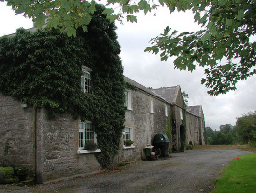 Ardagh Housefarmyard complex · 1.1 mi
 Castle Douglas (Site of)Castle, unclassified · 1.5 mi
 Riverstown Folk ParkHeritage attraction · 1.7 mi
 Coola Castle (in Ruins)Bawn · 2.1 mi
 Barroe NorthMountain / peak · 3.5 mi
 Annaghgowla IslandIslet · 3.7 mi
 James MorrisonMemorial · 3.7 mi
 InishmoreIslet · 4.0 mi
 Loughbrick BayBay · 5.0 mi
Other information
Photo: Credit not shown in the picture search · Rights wording not checked; contact us if this picture should be removed