What is recorded here
Covered site of St. Catherine's Well located on the main walk through Griffith Park, c. 70m N of the footbridge across the Tolka. This well was formerly within an enclosed yard of a house at Millbourne Avenue. It was a natural spring under the kitchen floor and led by a short culvert to the outside where it was accessible under a pointed arched superstructure. The water was used to cure sore eyes and toothache (Anon. 1928, 159-161; Ó Danachair 1958, 233). This house was demolished and the well is preserved in an ornamental shrubbery. St. Catherine's Well was described in 1928 as follows; 'in parish of Clonturk, townland of Drishogue, lies on the north bank of the river Tolka. Until recently it was enclosed in Millbourne Avenue, being supplied from a spring that rose under the kitchen floor of the house and was led by a sort of culvert to the outside, where it was accessible under a rude pointed arch. The house has now been demolished, but the municipal authorities have been careful to preserve the well with its covering in an ornamental shrubbery. It has been in traditional repute for the cure of sore eyes, toothache and chincough; but has had no annual celebration or pattern day within living memory' (anon. 1928, 159-60).
Covered site of St. Catherine's Well located on the main walk through Griffith Park, c. 70m N of the footbridge across the Tolka. This well was formerly within an enclosed yard of a house at Millbourne Avenue. It was a natural spring under the kitchen floor and led by a short culvert to the outside where it was accessible under a pointed arched superstructure. The water was used to cure sore eyes and toothache…
From the National Monuments Service (Archaeological Survey of Ireland) record DU018-011
The monument record does not grant public access. Check the route and ask the landowner before entering private land.
- What survives
- Recorded monument
Places near here
 post box52 yd
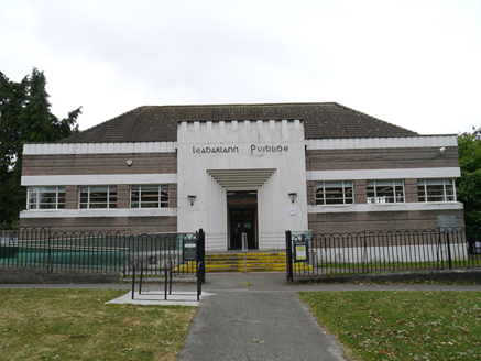 Drumcondra LibraryLibrary/archive · 127 yd
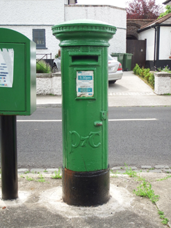 post box261 yd
_-_20220916103104.jpeg/250px-Dublin_-_St._Patrick's_College_Chapel_(New)_-_20220916103104.jpeg "Photo: Dwmalone, Wikimedia Commons · CC BY-SA 4.0") St. Patrick's College Chapel (New)Church/chapel · 374 yd
St. Patrick's College Chapel (New)Church/chapel · 374 yd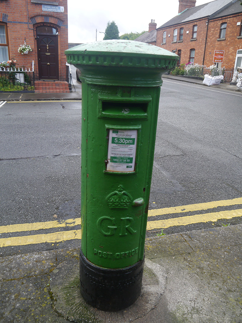 post box376 yd
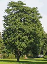 Tree of Heaven787 yd
 Glasnevin cemetery Ireland's necropolisVisitor information · 840 yd
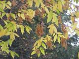 Caucasian zelkova842 yd
 Frank DuffMemorial · 1228 yd
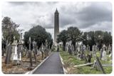 Glasnevin CemeteryHistoric cemetery · 1318 yd
 Killing of David ByrneMurder · 1380 yd
 Irish Volunteers memorialMonument · 1397 yd
Pictures: National Inventory of Architectural Heritage; Dwmalone, Wikimedia Commons · CC BY-SA 4.0; Darkone ( talk · contribs ), Wikimedia Commons · CC BY-SA 2.5; Gareth James, Geograph · CC BY-SA 2.0; Kurt Stüber [1], Wikimedia Commons · CC BY-SA 3.0; Cograng, Wikimedia Commons · CC BY-SA 4.0; William Murphy from Dublin, Ireland, Wikimedia Commons · CC BY-SA 2.0; sarah gallagher, Wikimedia Commons · CC BY-SA 2.0; Eric Jones, Geograph · CC BY-SA 2.0
More archaeology and monuments in County Dublin · All of County Dublin
What do you know about this place?