What is recorded here
St. Burchins Church stands on the highest point of a subrectangular graveyard in County Tipperary, its eighteenth-century walls overlooking tombstones that stretch from 1772 to the twentieth century. The natural hill lifts the building above undulating terrain, giving the dead a wide view and the living a clear landmark. Writers have called it an ancient churchyard, suggesting older lives may sleep beneath the visible stones, yet no earlier features remain evident. The place holds both proven age and whispered depth, inviting wonder rather than certainty.
Located on a natural hill in undulating hilly terrain. An eighteenth-century Protestant church situated on the highest point in a subrectangular graveyard (TN017-056002). Tombstones date from the eighteenth to the twentieth century, the earliest noted being 1772. No earlier features evident in the graveyard although it is referred to in OS Letters as 'ancient Churchyard' (O'Flanagan 1930, vol. 2, 80-81).
The above description is derived from 'The Archaeological Inventory of County Tipperary. Vol. 1 - North Tipperary' compiled by Jean Farrelly and Caimin O'Brien (Dublin: Stationery Office, 2002). In certain instances the entries have been revised and updated in the light of recent research.
Date of upload/revision: 22 September 2008
The monument record does not grant public access. Check the route and ask the landowner before entering private land.
- What survives
- Recorded monument
Places near here
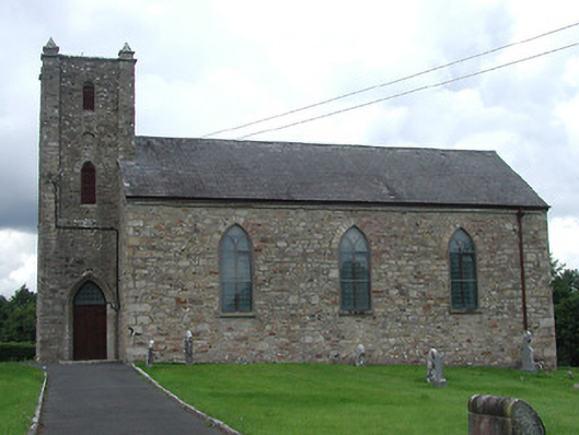 Saint Burchin's Church (Bourney)church/chapel · 1 yd
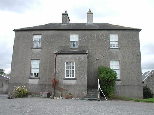 rectory/glebe/vicarage/curate's houserectory/glebe/vicarage/curate's house · 171 yd
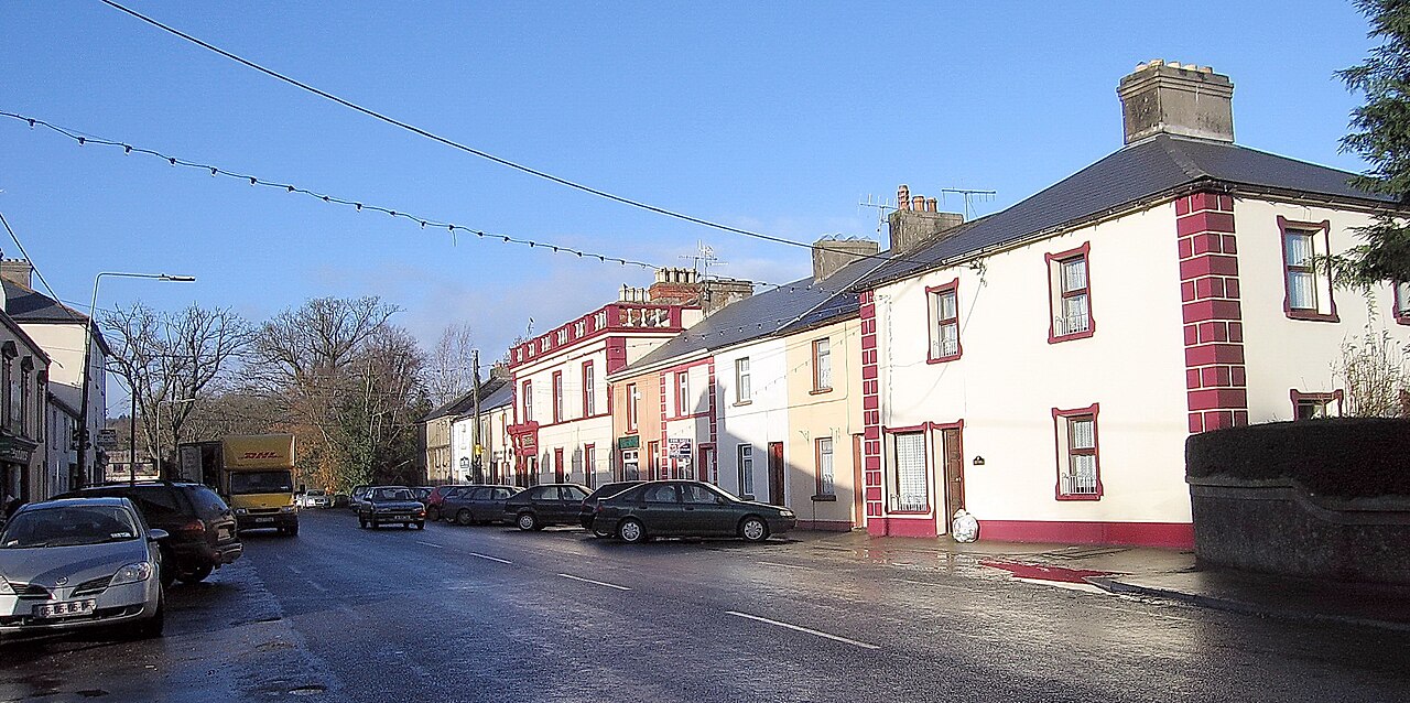 IndicatedEnclosure · 468 yd
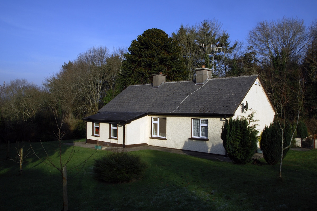 Habitation site in Ballyslea,boola (bourney Par.)Habitation site · 1.0 mi
 OutlinedCastle, Anglo-Norman masonry castle · 1.2 mi
 Castle (in ruins)House, fortified house · 1.9 mi
 Longford WoodForest · 2.4 mi
 Black HillMountain / peak · 3.1 mi
 Carricknasrock WoodWood · 3.5 mi
 Roscrea Petty Sessions HouseHeritage attraction · 3.8 mi
 Millennium GardenMemorial · 4.8 mi
 BenduffMountain / peak · 4.9 mi