
What is recorded here
Known as St Broghan's Road, parts of which were visible in the early 1940's(JRSAI 1945, 56-9). It consisted of brushwood, sand and gravel, was 0.3m wide and ran from close to Clonsast graveyard (OFO27-007----) westwards across the bog to Derriss house (Raheenakearan td.). It has been dated 780AD + 80 (Antiquity 1960, 14; PRIA 1985, 41-4). There is now little o rnothing to be seen of this togher.
The above description is derived from the published 'Archaeological Inventory of County Offaly' (Dublin: Stationery Office, 1997). In certain instances the entries have been revised and updated in the light of recent research.
Date of upload: 23 May 2011
The monument record does not grant public access. Check the route and ask the landowner before entering private land.
- What survives
- Recorded monument
Places near here
 CarnCairn, unclassified · 1493 yd
 Ecclesiastical site in Clonsast UpperEcclesiastical site · 1593 yd
 Clonsast Church (in ruins)Church · 1602 yd
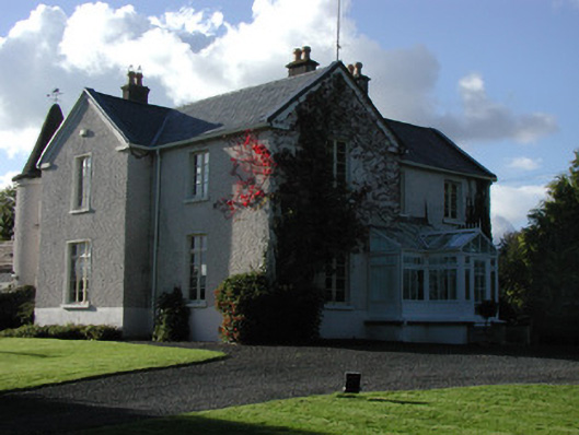 Millgrovemiller's house · 2.0 mi
 Raheenakeeran Castle (in ruins)Castle, unclassified · 2.7 mi
 Allen family memorial headstoneMemorial · 2.7 mi
 Derryounce Walk (Yellow Loop)Walking route · 2.9 mi
 Derryounce Lakes & TrailsNature reserve · 2.9 mi
 Cashlan BrockCastle, tower house · 3.3 mi
 Bog Lake WalkWalking route · 3.3 mi
 Sli na Slainte - mapVisitor information · 3.9 mi
 The Lord's WellSpring · 4.3 mi
Other information
Photo: Credit not shown in the picture search · Rights wording not checked; contact us if this picture should be removed