What is recorded here
Located towards the top of the E-facing slope of a broad drumlin, and N of the graveyard (LE025-008002-). Described in gothic lettering as ‘St. Bridget’s Well’ only on the 1835 edition of the OS 6-inch map, it is one of two dedicated to St Bridget in Oughteragh parish, the other (LE025-009----) being c. 550m to the NNE in Camagh townland. The precise location of this well is not known (Gallogly 1991, 7), although it might be in the laneway leading to the old graveyard where there is now a shrine. It was not involved in the pattern of the 1930s as recorded in the Schools Manuscript Collection from many local schools, but see this web-page accessed on 26/01/2017: http://www.duchas.ie/en/cbes/4658439/4655797
Compiled by: Michael Moore
Date of upload: 5 July, 2017
St. Bridget’s Well is associated with Brigid of Kildare, a prominent early Irish Christian saint linked to fertility, healing, and poetry. Traditionally, the well was visited for its curative properties, particularly for ailments of the eyes and to ensure a safe childbirth.
The monument record does not grant public access. Check the route and ask the landowner before entering private land.
- What survives
- Recorded monument
Places near here
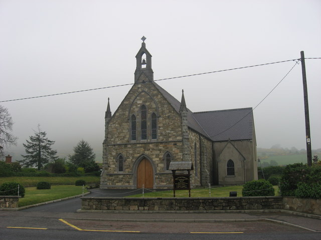 Church in OughteraghChurch · 26 yd
 St. Bridgets WellHoly well · 606 yd
 schoolschool · 1262 yd
 IndicatedFairy fort / earthen ringfort · 1499 yd
 DrumbadMountain / peak · 1757 yd
 DrumgownaghMountain / peak · 2.0 mi
 Cromlin Bridge WoodWood · 2.1 mi
 Turf IslandIsland · 2.9 mi
 Buck IslandIsland · 3.0 mi
 European ashEuropean ash · 3.1 mi
 Swan Island pet farmHeritage attraction · 4.0 mi
 CastleCastle, tower house · 4.1 mi